
Earth and the globe: teaching, slides and exercises
The globe, the equator, the poles, seven continents, five oceans and where Finland is. Teaching, slides and exercises for grades 3–6.
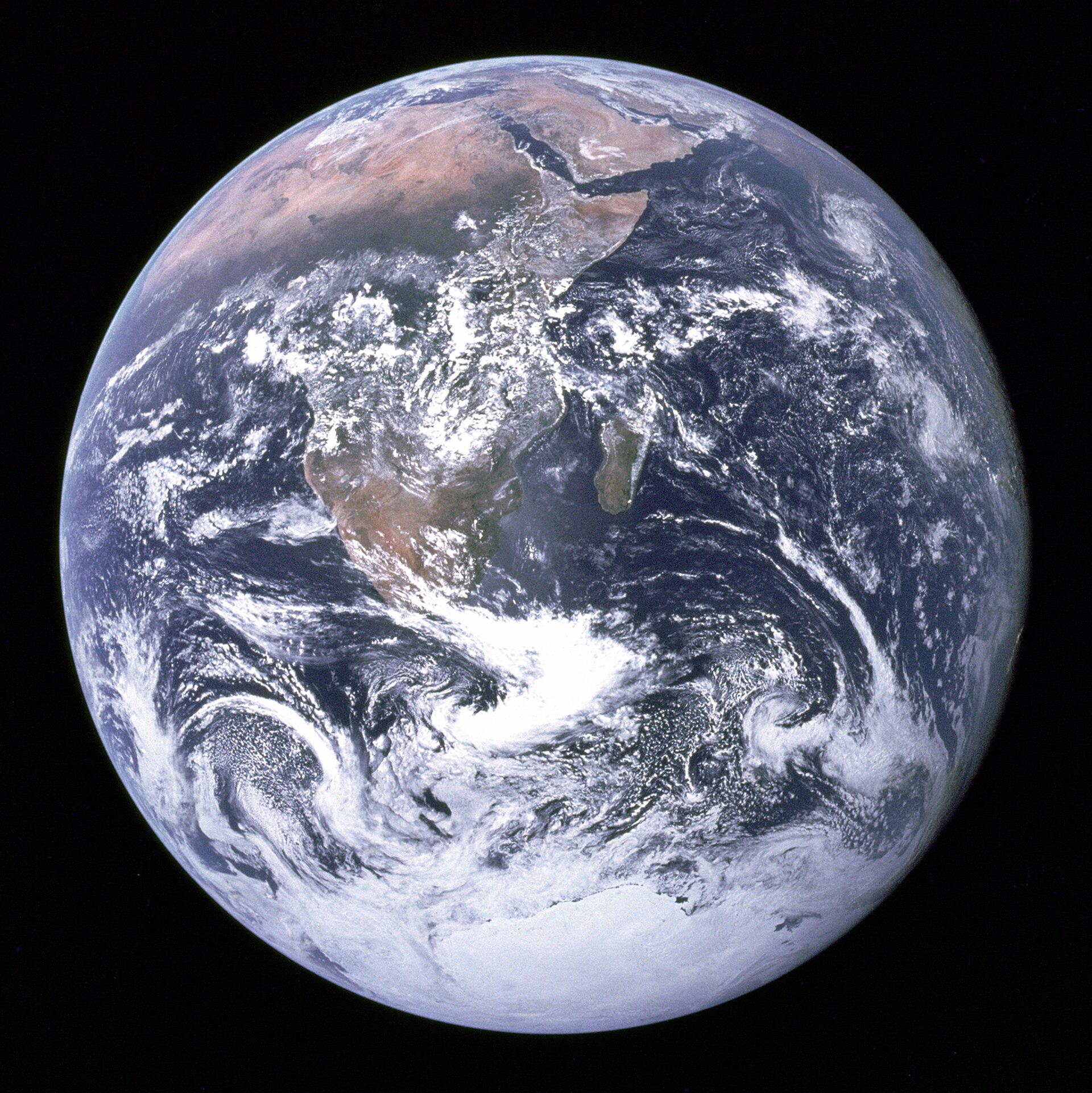
Earth is a huge ball with land and water on its surface. A globe is a small model of it. In this article pupils learn the equator, the poles, the hemispheres, the continents and the oceans. The article is made for environmental studies in grades 3–6. Every step is ready to show to the class as a slide.
By the end, pupils can show the equator and the poles on a globe. They can name the seven continents and the five oceans. They can say which hemisphere and which continent Finland is in. After that, they can practise the topic in Puro's geography exercises.
Key concepts
- globe
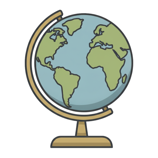 A small model of the Earth that shows the continents and seas.
- equator
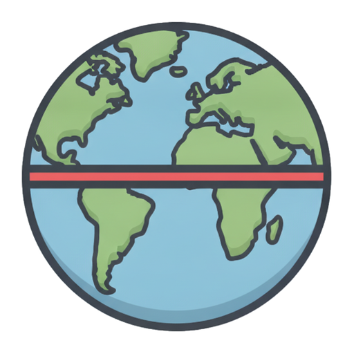 An imaginary line around the middle of the Earth. Near it, it is always warm.
- North Pole
 The northernmost point of the Earth. It is surrounded by icy sea.
- South Pole
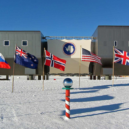 The South Pole is the southernmost point on Earth. It is in Antarctica, where it is very cold and there is a lot of ice.
- continent
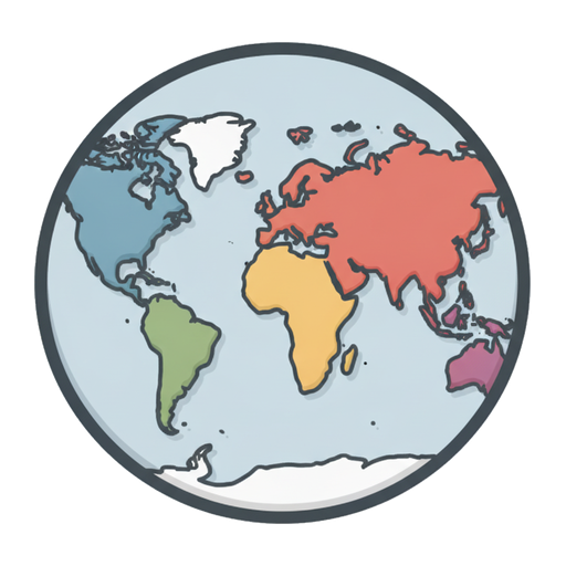 A very large area of land. There are seven continents, and Finland is in Europe.
- ocean
 A very large sea. The largest ocean is the Pacific.
- Europe
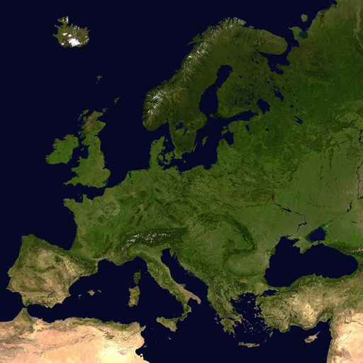 Europe is a continent, and Finland is part of it. It is a small continent, but it has many countries and languages.
- Finland
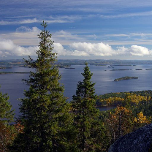 Finland is a country in northern Europe. It has many forests and lakes, and its capital is Helsinki.
1. What shape is the Earth?
If you flew into space, what shape would the Earth look like?
Why is the Earth called a globe?
What can you see on the classroom globe?
Which covers more of the Earth's surface, land or water?2. A globe is a small model of the Earth
The Earth is a ball, and a globe is a small model of it in which the continents and seas have the right shape.
A map is flat. The surface of a ball cannot be made flat without stretching it. That is why some areas look too big on a map.
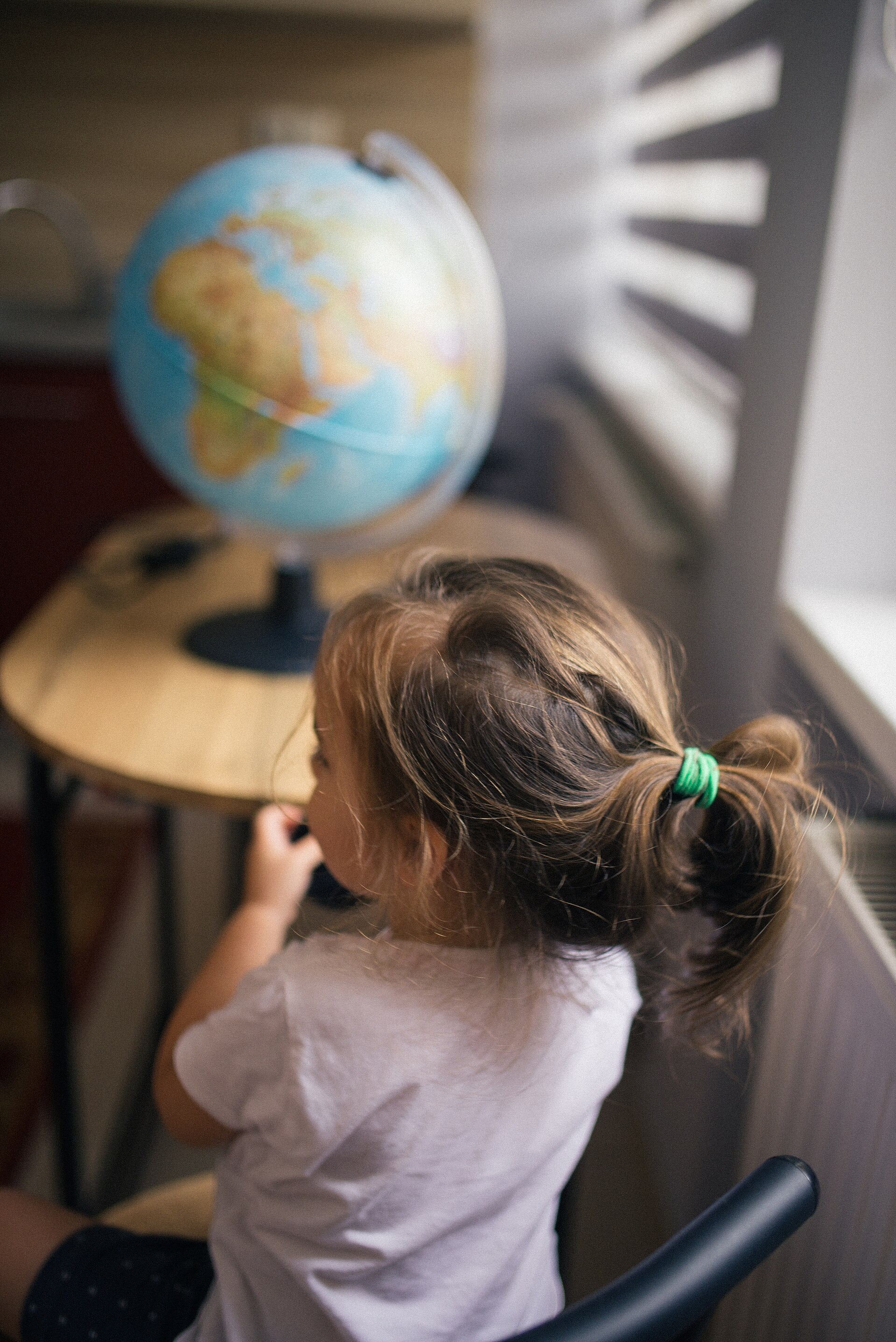
A globe is a small model of the Earth. Photo: Girl sitting in front of a globe on a geography class, Shixart1985, CC BY 2.0, modified: reduced in size 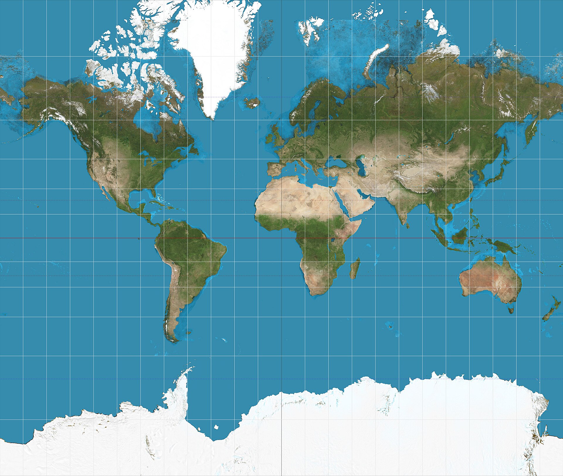
On a flat map, Greenland and Antarctica look too big. Photo: Mercator projection SW, Strebe, CC BY-SA 3.0, modified: reduced in size 3. The equator and the poles
The equator is an imaginary line that goes around the middle of the Earth. It is about 40,000 kilometres long.
The equator divides the Earth into the northern and southern hemispheres. The northernmost point is the North Pole and the southernmost is the South Pole.
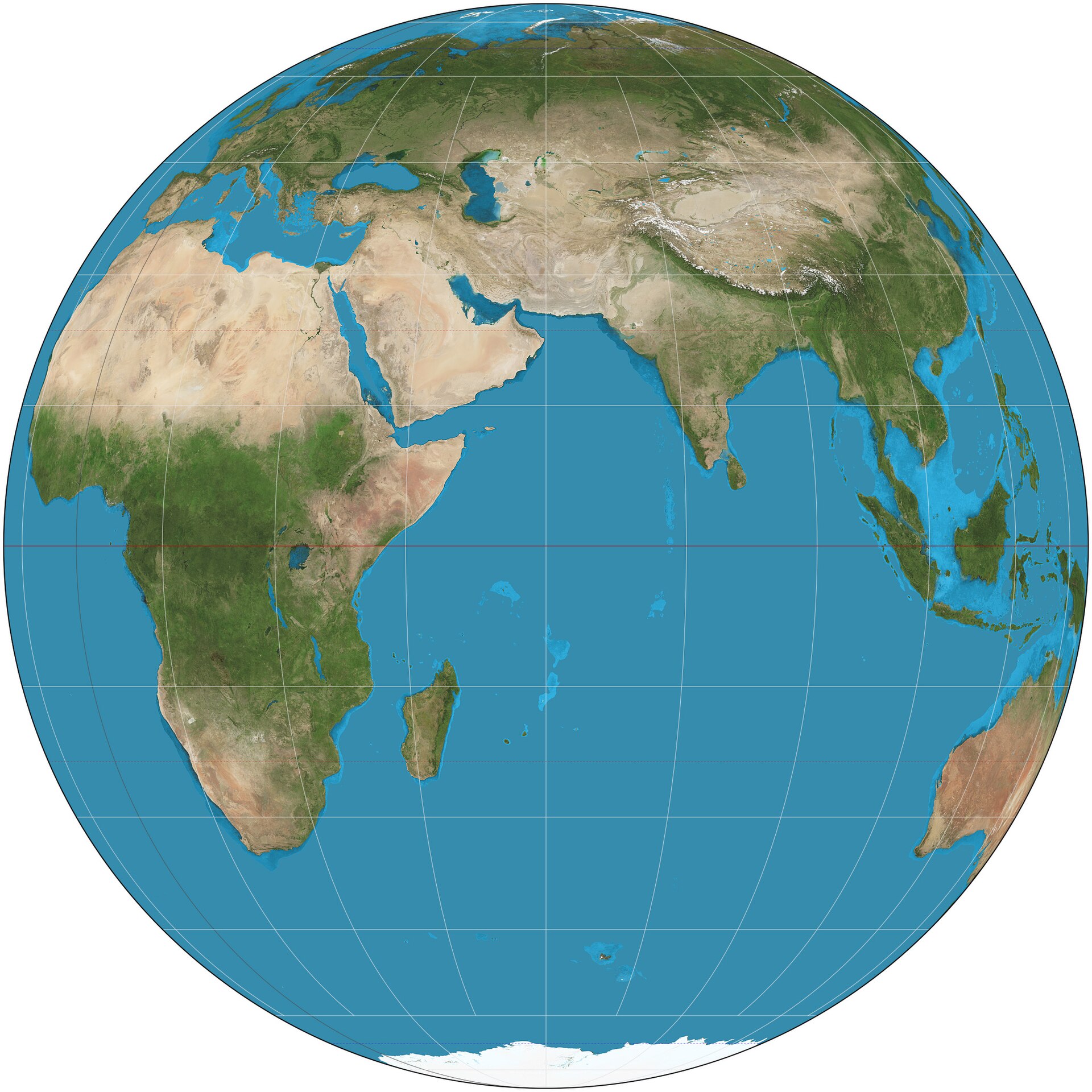
The red line is the equator. The poles are at the top and bottom of the globe.. Photo: Orthographic projection SW, Strebe, CC BY-SA 3.0, modified: reduced in size 4. Seven continents
A very large area of land is called a continent. There are seven continents.
From largest to smallest they are Asia, Africa, North America, South America, Antarctica, Europe, and Australia and Oceania. Antarctica is almost entirely covered in ice.
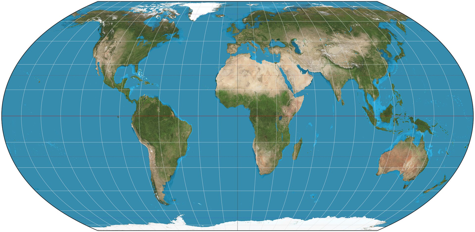
On this map, the continents are the right sizes compared with each other. Photo: Equal Earth projection SW, Strebe, CC BY-SA 4.0, modified: reduced in size 5. Five oceans
About 7/10 of the Earth's surface is water. Most of it is in the oceans.
According to the usual division, there are five oceans. From largest to smallest they are the Pacific Ocean, the Atlantic Ocean, the Indian Ocean, the Southern Ocean and the Arctic Ocean.
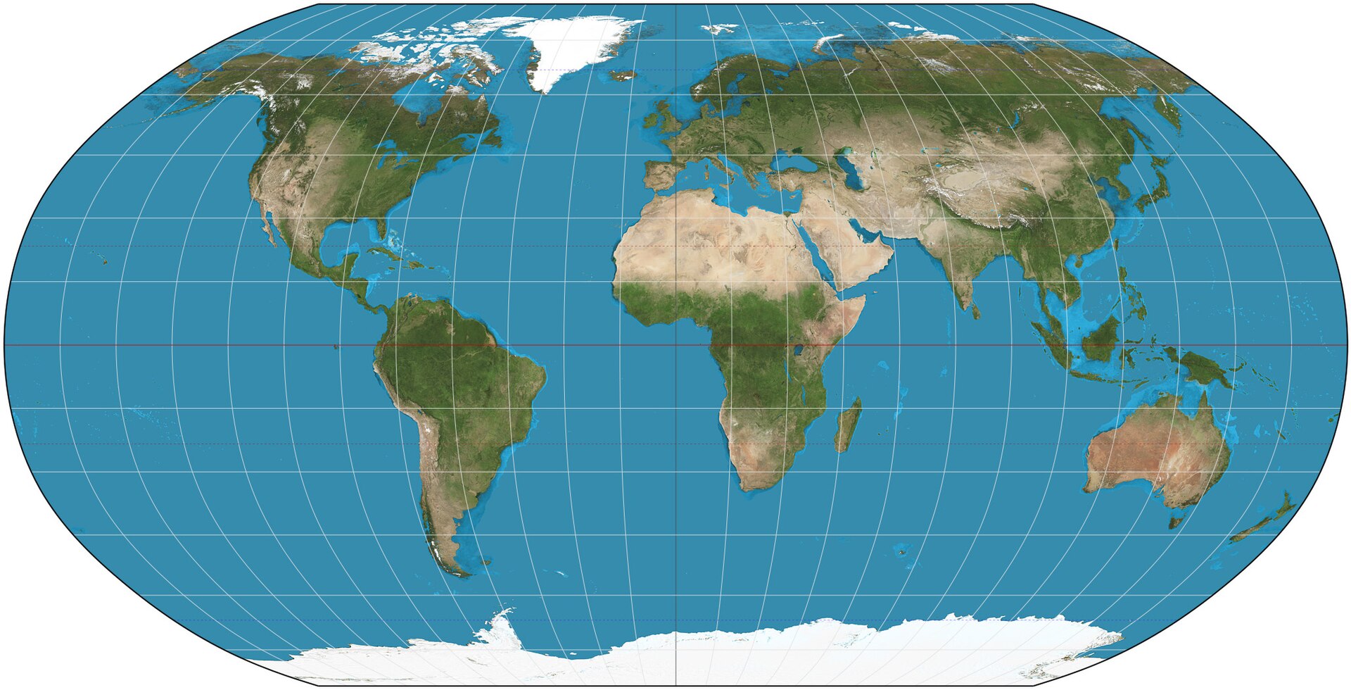
The Pacific Ocean stretches from the left edge of the map to the right edge. Photo: Robinson projection SW, Strebe, CC BY-SA 3.0, modified: reduced in size 6. Where is Finland?
Finland is in the Northern Hemisphere and in Europe. It is closer to the North Pole than to the equator.
Finland's coast is on the Baltic Sea. To the west of Europe is the Atlantic Ocean, and to the south is Africa.
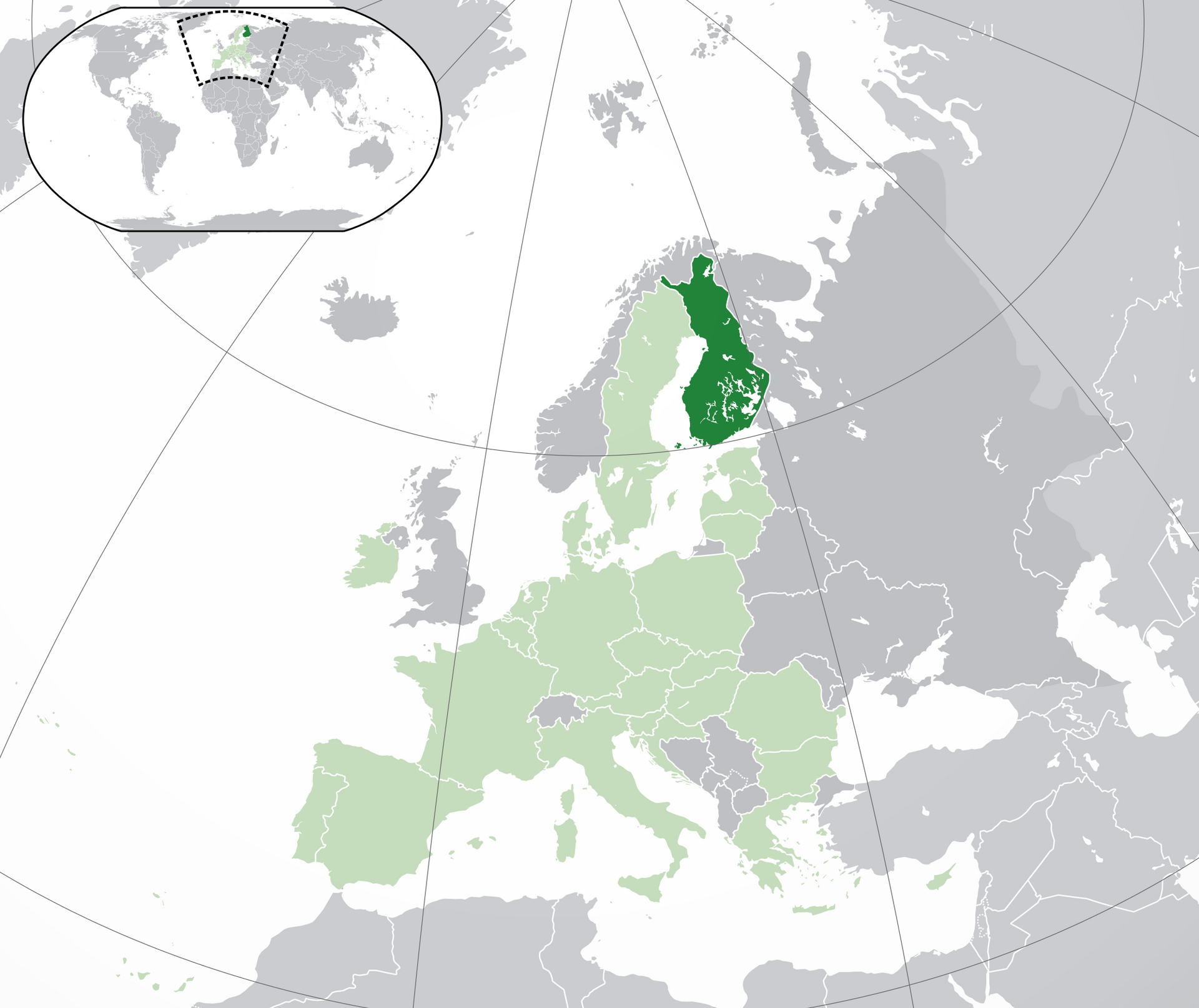
Finland is dark green on the map. The small picture shows where it is on the world map.. Photo: Location Finland EU Europe, Quizimodo, Public domain, modified: reduced in size 7. Try it on the globe
Show the equator and the poles on the globe.
Which hemisphere is Finland in?
Name the seven continents.
Which is the largest ocean?


Summary
The Earth is a ball, and a globe is a small model of it. A map is flat, so some areas are stretched on it. The equator divides the Earth into the northern and southern hemispheres. The northernmost point is the North Pole and the southernmost is the South Pole. There are seven continents and five oceans. The largest continent is Asia and the largest ocean is the Pacific Ocean. Finland is in the Northern Hemisphere, in Europe.
Frequently asked questions
Why does Greenland look almost as big as Africa on some maps?
On many world maps, areas near the poles are stretched. That is why Greenland looks big, even though Africa is about 14 times as large. On a globe the sizes are shown correctly. You can try it with an orange peel, which tears when you press it flat.
Are there always seven continents and five oceans?
Not always, because the division is a convention. The division into seven continents is common in Finnish schools. In some countries North and South America are one continent. In some books the Southern Ocean is not an ocean of its own, and then there are four oceans. Use the same division as your own textbook.
Why is it sometimes day and sometimes night?
The Earth spins around its axis. One turn takes a day, or 24 hours. The side facing the Sun has day. The other side has night. You can show this with a globe and a torch.