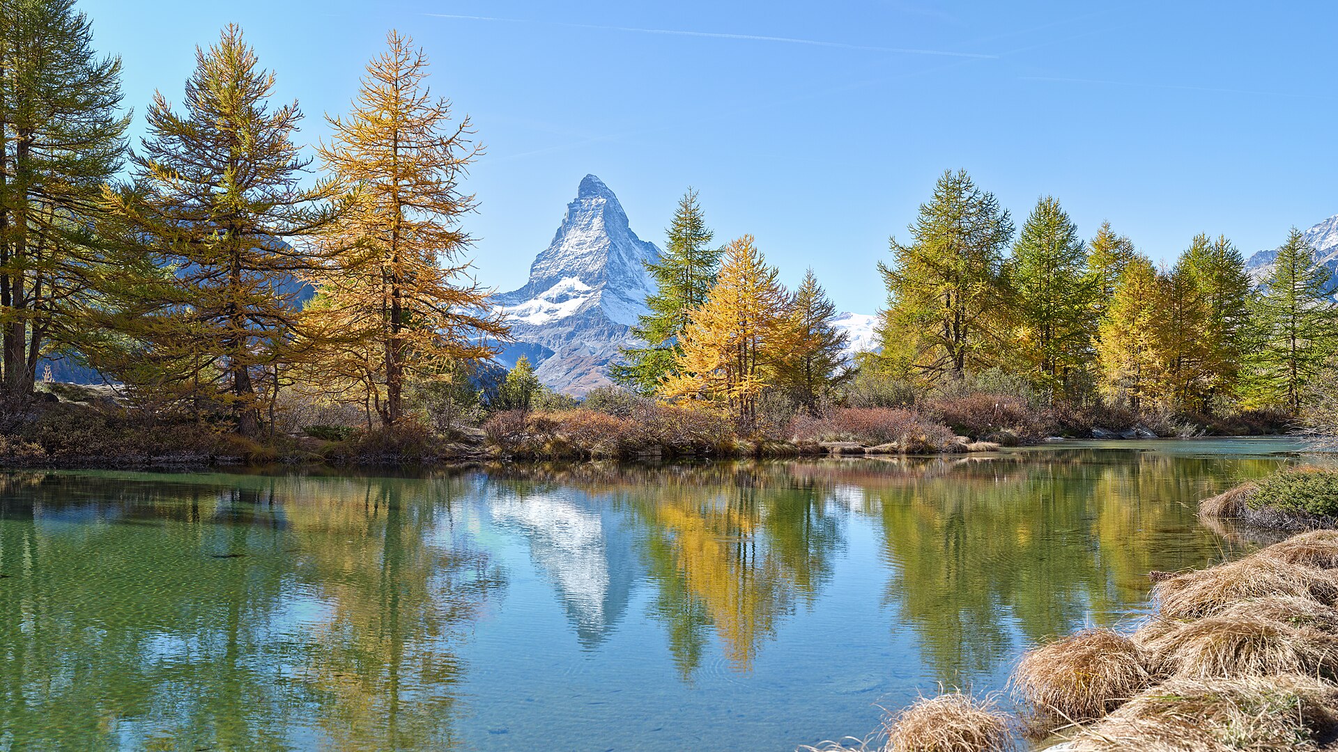

Map of Europe: teaching, slides and exercises
Europe's regions, seas and mountain ranges, plus familiar countries and their capitals, one group at a time. Slides and questions for grades 5–6.
Europe is a continent, and Finland is part of it. The article is made for grades 5–6, and every step is ready to show to the class as a slide.
By the end, pupils know the regions, seas and big mountain ranges of Europe. They can also name familiar countries with their capitals. After that, they can practise the map in Puro's Europe map exercises.
Key concepts
- Europe
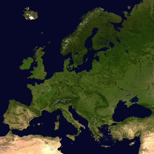 Europe is a continent, and Finland is part of it. It is a small continent, but it has many countries and languages.
- continent
 A very large area of land. There are seven continents, and Finland is in Europe.
- country
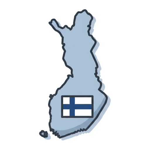 An area with its own borders, government and flag. Finland is a country.
- capital
 A country's most important city, where the government works. Finland's capital is Helsinki.
- Baltic Sea
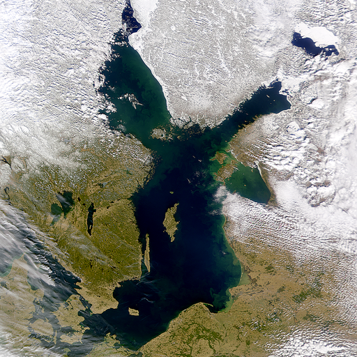 The Baltic Sea is a shallow sea in northern Europe, and Finland lies on its shore. Its water is much less salty than the ocean.
- mountain
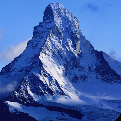 A high, steep rise of land. The world's highest mountain is Mount Everest.
- Nordic countries
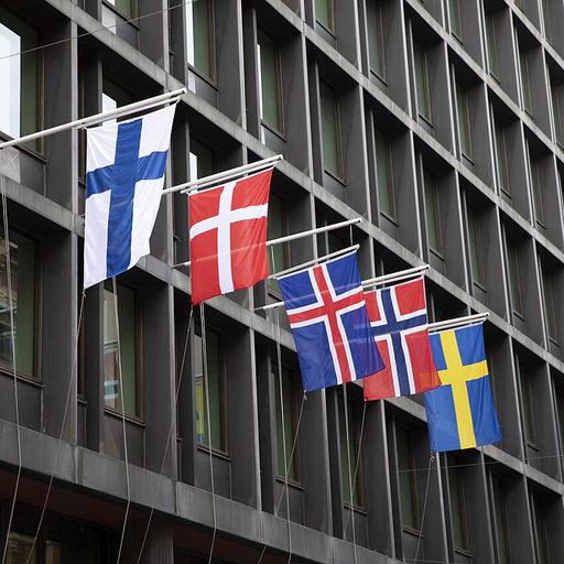 The Nordic countries are Finland, Sweden, Norway, Denmark and Iceland. They share a lot of history and work together.
- peninsula
 A piece of land with water on three sides.
Related exercises
1. What do you know about Europe?
Which European countries can you name?
Which is the largest country in Europe?
Which seas surround Europe?
Where is Finland on the map of Europe?2. The five regions of Europe
Europe is often divided into five regions: Northern Europe and Western, Central, Southern and Eastern Europe. Finland belongs to Northern Europe.
The division is not official. In different books, the same country can belong to a different region.
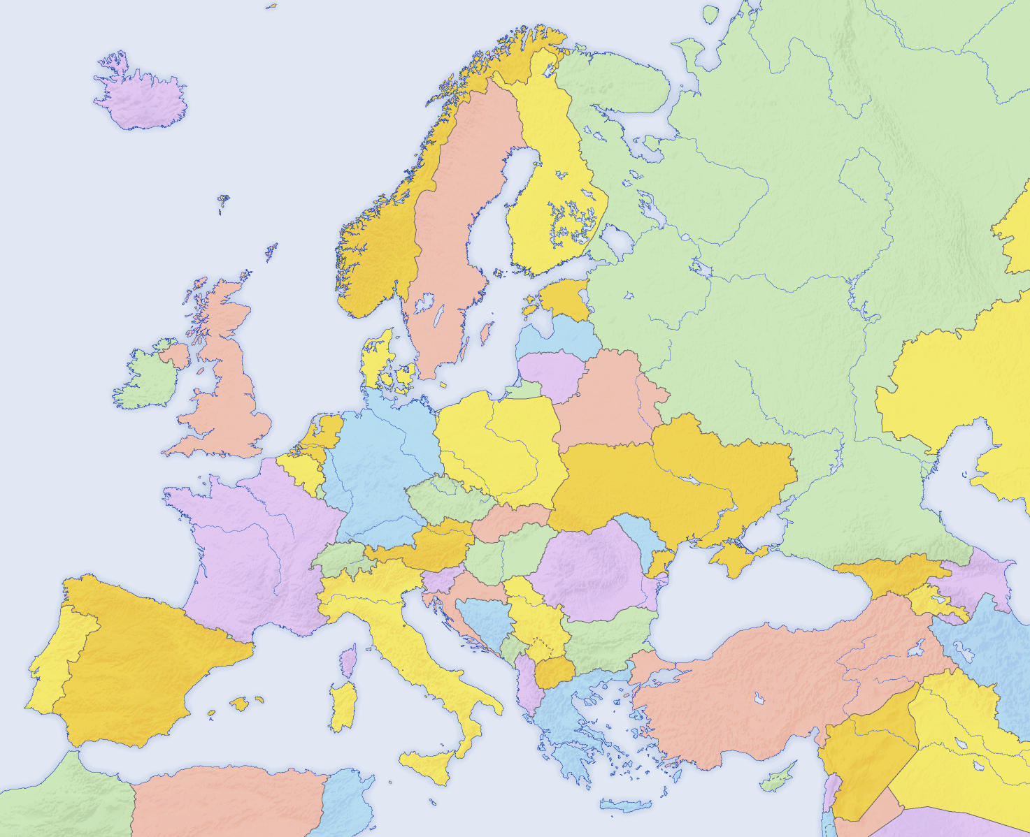
The countries of Europe in their own colours. North is at the top.. Photo: Europe countries map 2, San Jose (map), Hayden120 (retouch), CC BY-SA 3.0, modified: reduced in size 3. Country and capital
A country is an area with its own borders and its own government. The capital is usually where the country's government sits.
There are over 40 countries in Europe. The exact number depends on how you count, because, for example, Turkey is partly in Asia.
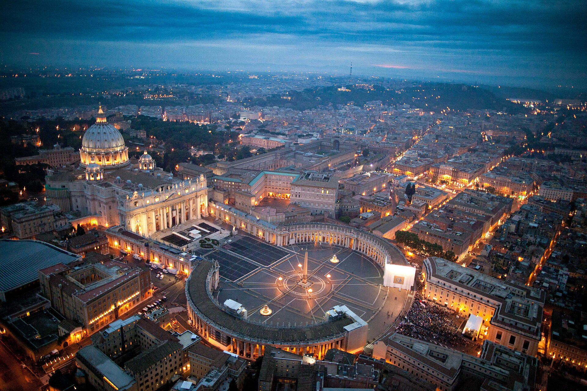
Vatican City is the smallest country in Europe. The picture shows St Peter's Basilica and St Peter's Square, with the city of Rome around them.. Photo: Vatican City and St. Peter Square evening twilight aerial view, lafiguradelpadre Congreso, CC BY 2.0, modified: reduced in size 4. Countries and capitals by region
In Northern Europe: Sweden–Stockholm, Norway–Oslo, Denmark–Copenhagen
In Western Europe: United Kingdom–London, France–Paris
In Central Europe: Germany–Berlin, Poland–Warsaw
In Southern Europe: Spain–Madrid, Italy–Rome, Greece–Athens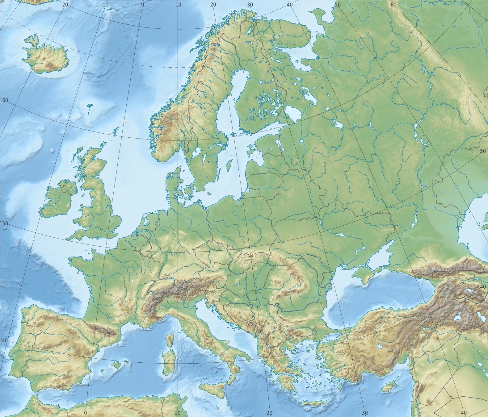
Eight capitals on the map of Europe. The grey lines are country borders.. Photo: Europe relief laea location map, Alexrk2, CC BY-SA 3.0, modified: reduced in size 5. Learn one group at a time
The map sticks in your mind when you learn the countries in small groups. Start close to home: there are five Nordic countries and three Baltic countries.
Then look for the peninsulas. Spain and Portugal are on the Iberian Peninsula, and Italy is on the Apennine Peninsula.
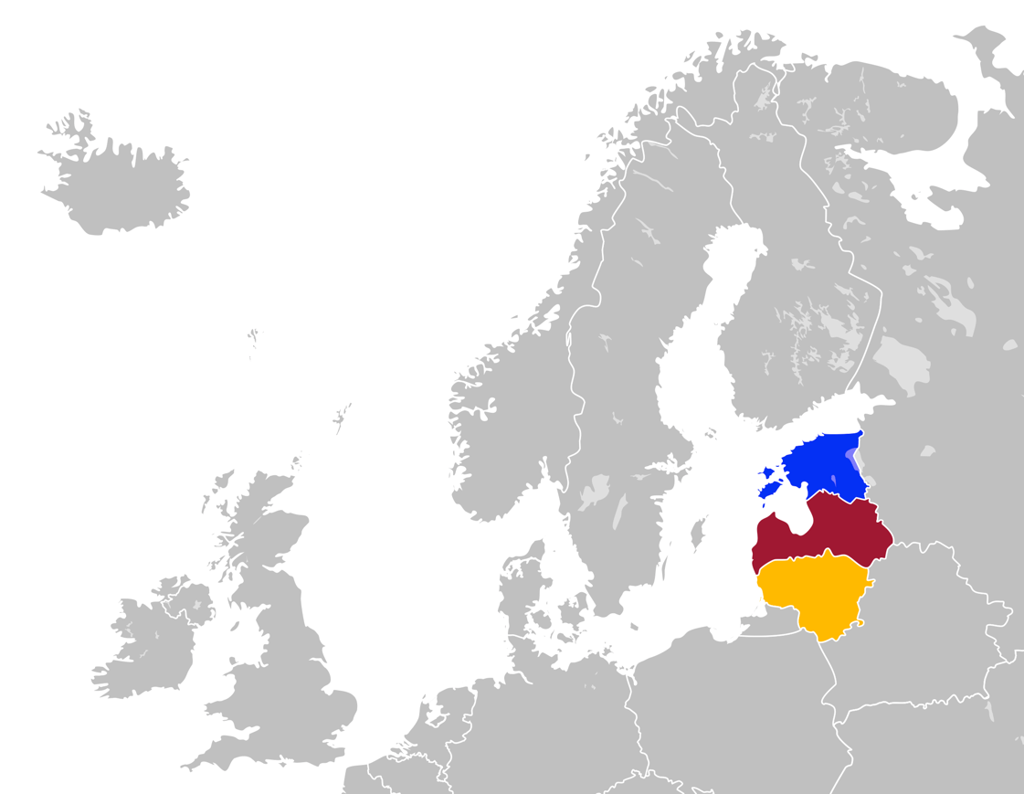
The Baltic countries: Estonia (blue), Latvia (red) and Lithuania (yellow). Photo: Estonia, Latvia & Lithuania in Northern Europe, Blomsterhagens, CC BY-SA 4.0, modified: reduced in size 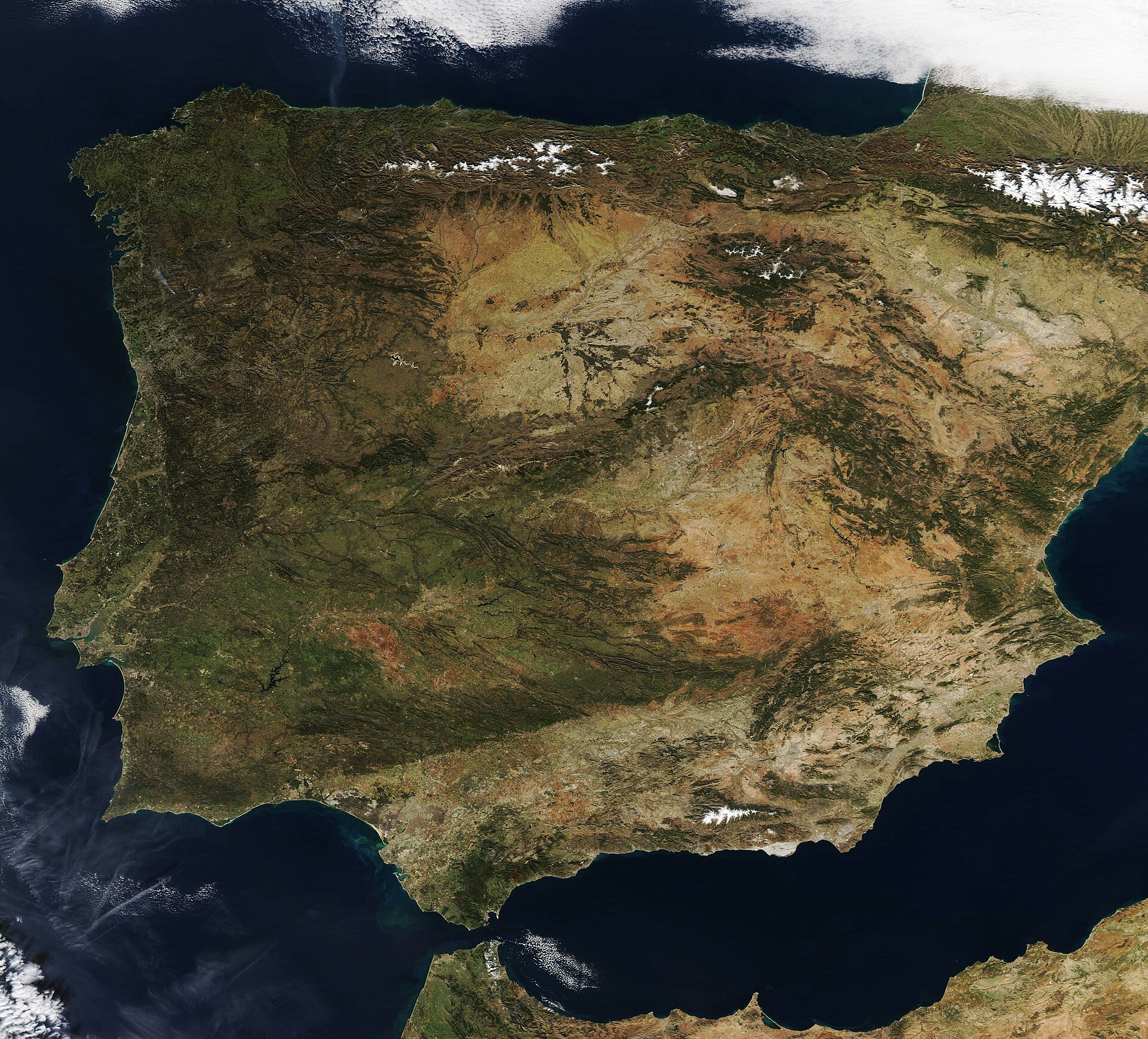
The Iberian Peninsula in a satellite image. At the top right are the snowy Pyrenees.. Photo: Clear Skies over the Iberian Peninsula (MODIS 2022-02-07), MODIS Land Rapid Response Team, NASA GSFC, Public domain, modified: reduced in size 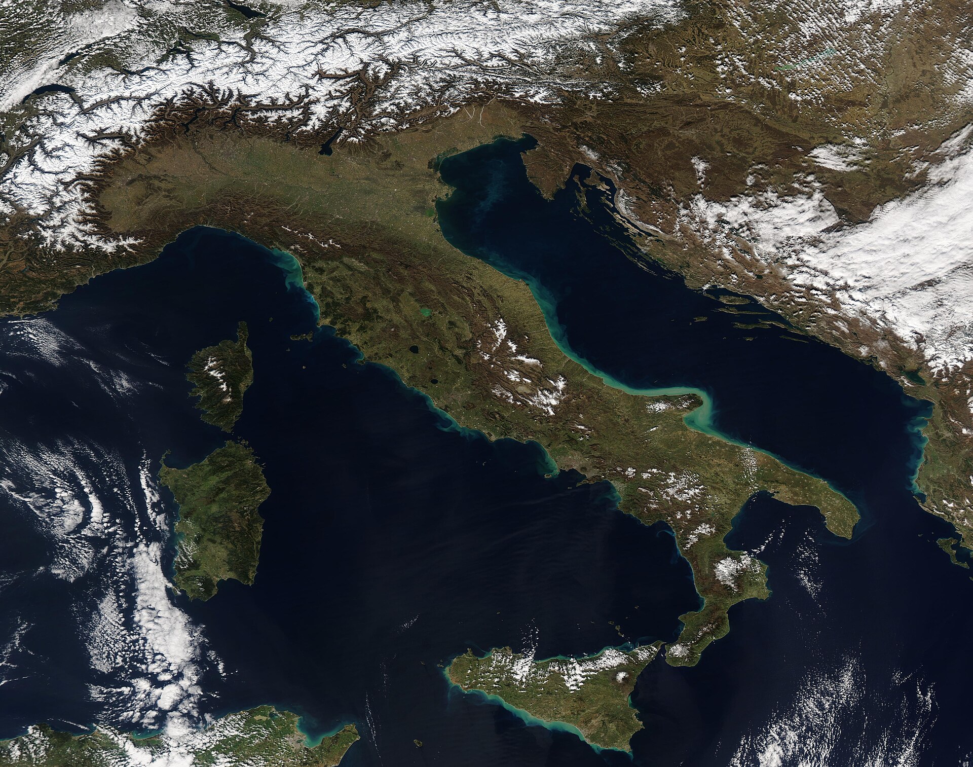
The Apennine Peninsula in a satellite image. The snowy Alps can be seen in the north.. Photo: Clear Skies over Italy (MODIS 2022-02-24), MODIS Land Rapid Response Team, NASA GSFC, Public domain, modified: reduced in size 6. Seas and mountains
Europe is surrounded by the Atlantic Ocean in the west and the Mediterranean Sea in the south. Finland's coast is on the Baltic Sea.
The big mountain ranges are the Alps and the Scandinavian Mountains. In the east, the border between Europe and Asia usually runs along the Ural Mountains.
A relief map of Europe. The mountain ranges are brown and the seas are blue. The Ural Mountains are in the top right corner.. Photo: Europe relief laea location map, Alexrk2, CC BY-SA 3.0, modified: reduced in size 7. Practise on the map
What is the capital of Norway?
Which three countries are the Baltic countries?
Which sea lies between Europe and Africa?
On which peninsula is Italy?


Summary
Europe is often divided into Northern Europe and Western, Central, Southern and Eastern Europe. There are over 40 countries in Europe, and each has a capital. In the west is the Atlantic Ocean and in the south the Mediterranean Sea. The big mountain ranges are the Alps and the Scandinavian Mountains. The map sticks in your mind when you learn the countries in groups, such as the Nordic countries and the Baltic countries.
Frequently asked questions
How many countries are there in Europe?
Over 40. The number varies between sources, because some countries are in both Europe and Asia, such as Russia and Turkey.
What is the longest river in Europe?
The Volga. It flows through Russia and empties into the Caspian Sea.
How do you learn the map of Europe?
Learn the countries in small groups and start close to home. Practise on a blank map: point to a country and say its capital.