
Map of Finland: neighbouring countries, seas and cities
Finland's neighbouring countries, seas, cardinal directions, Lapland, lakes and biggest cities on the map. Slides and questions for pupils aged 9–10.
Where is Finland, and what can you find on a map of Finland? This article is made for pupils aged nine to ten, and every step is ready to show to the class as a slide.
At the end, the pupil can name Finland's neighbouring countries and seas. The pupil uses the cardinal directions on a map of Finland and finds Lapland, the Finnish Lakeland and the biggest cities.
Key concepts
- Finland
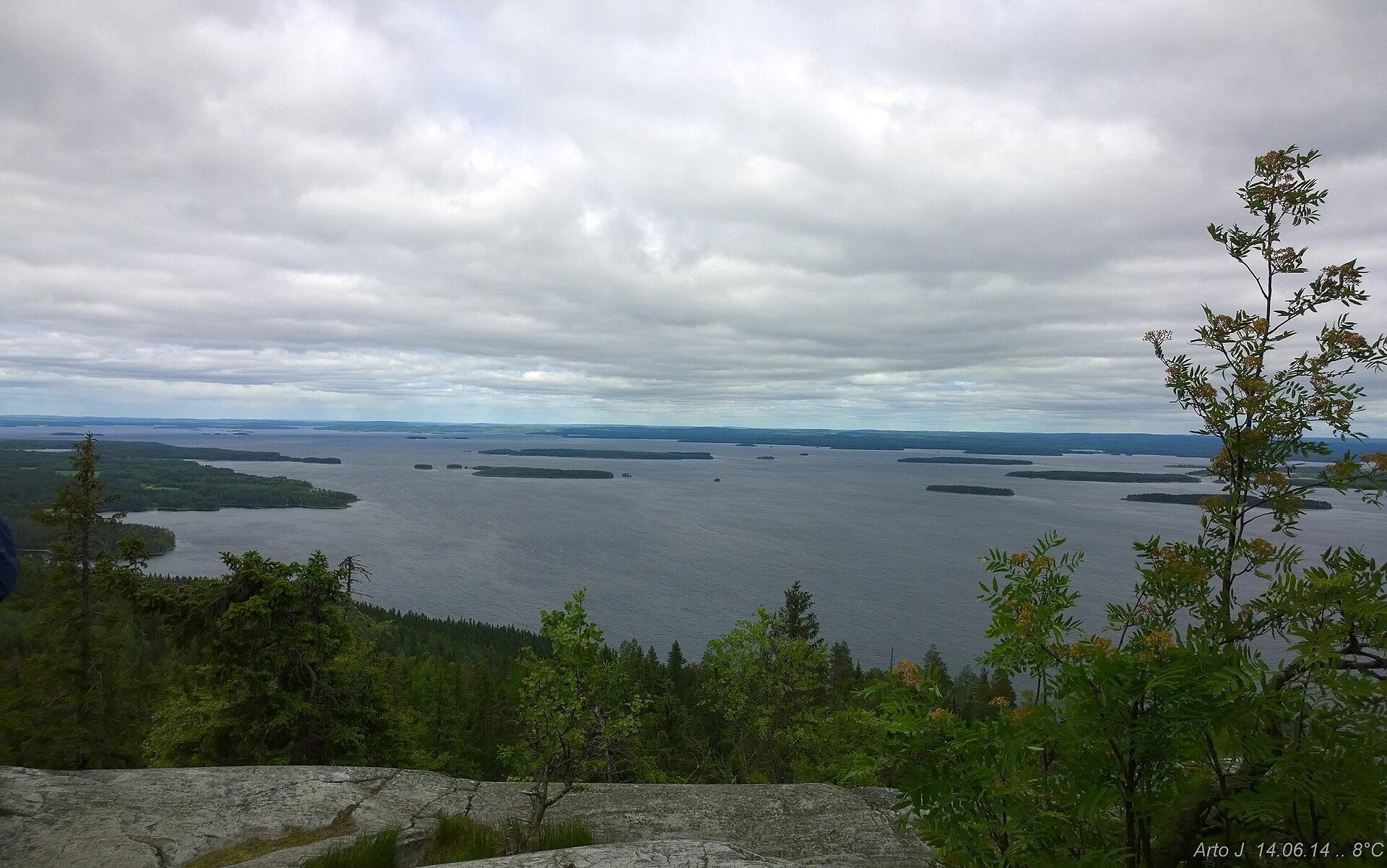
 Finland is a country in northern Europe. It has many forests and lakes, and its capital is Helsinki.
- Baltic Sea
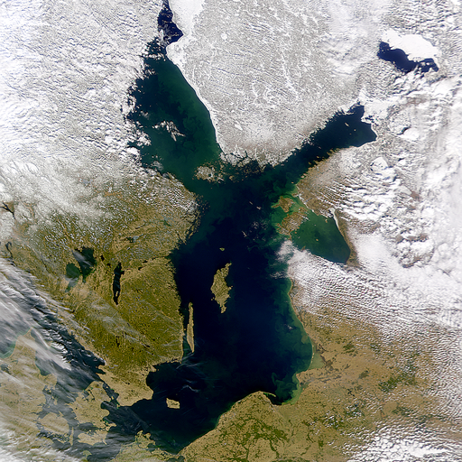 The Baltic Sea is a shallow sea in northern Europe, and Finland lies on its shore. Its water is much less salty than the ocean.
- cardinal directions
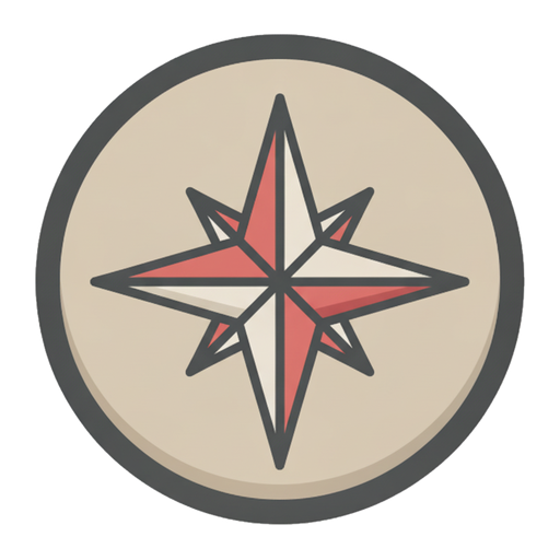 North, east, south and west. They are used to tell direction.
- map
 A picture of the land seen from above. A map shows where places are.
- fell
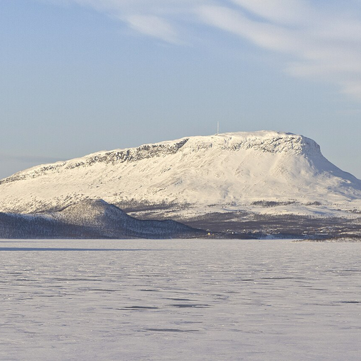 A round-topped mountain in Lapland. No trees grow on its summit.
- lake
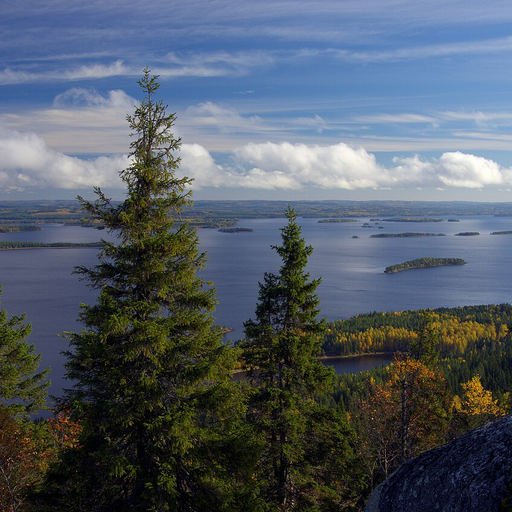
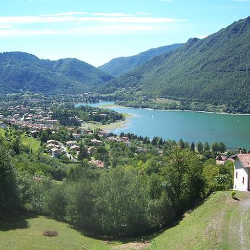 A body of water surrounded by land. Finland has more than 180,000 lakes.
- river
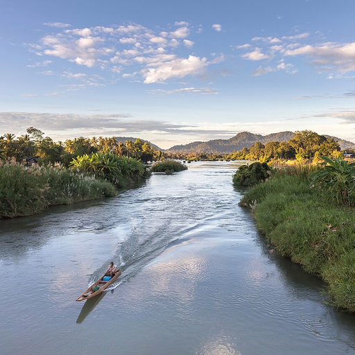 Flowing water that runs in its bed toward a lake or the sea.
- capital
 A country's most important city, where the government works. Finland's capital is Helsinki.
1. Where is Finland?
On which continent is Finland?
Which sea is on Finland's coasts?
In which direction is Finland from your home?
In which direction is Lapland from southern Finland?2. Finland's neighbours and seas
Finland has a land border with three countries: Sweden in the west, Norway in the north and Russia in the east. Estonia is in the south, across the Gulf of Finland.
In the west is the Gulf of Bothnia and in the south the Gulf of Finland. They are parts of the Baltic Sea.
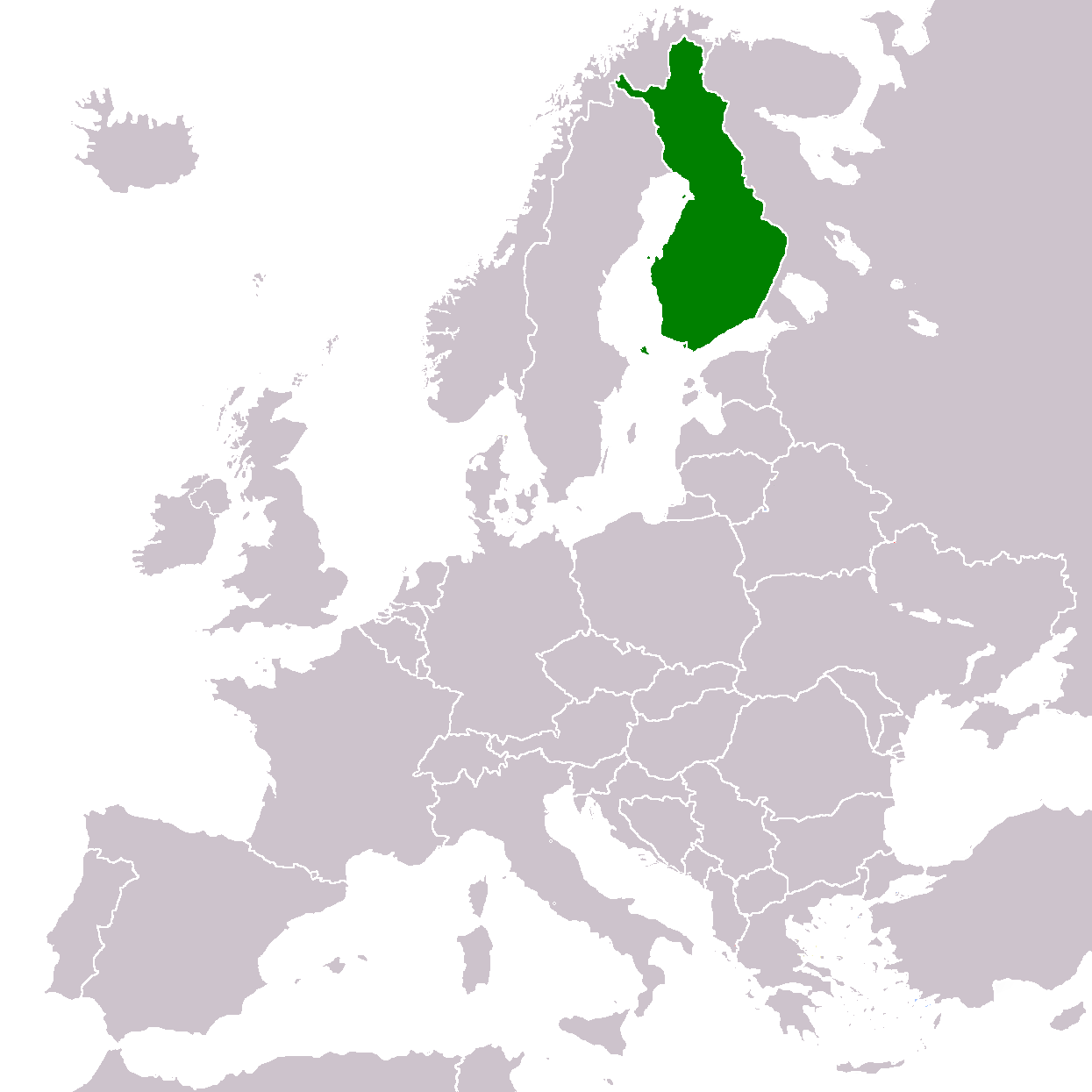
Finland is green on the map. North is at the top.. Photo: LocationFinlandEurope, TharkunColl (englanninkielinen Wikipedia), CC BY-SA 3.0, modified: reduced in size 3. Cardinal directions on a map
On a map, north is usually at the top and south at the bottom. East is on the right and west on the left. These four directions are called cardinal directions.
On a map of Finland, Lapland is in the north and Helsinki in the south.
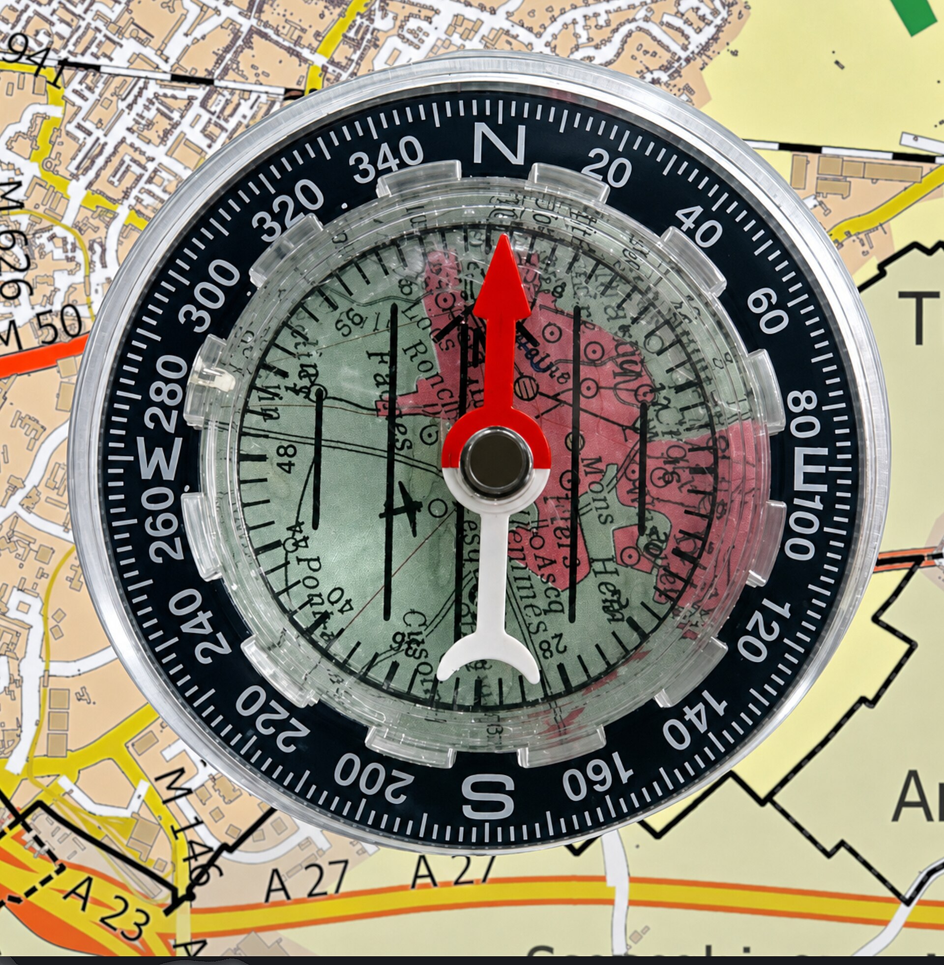
On compasses the letters stand for the directions: N is north, E east, S south and W west.. Photo: Boussole d'orientation à plaquette transparente, Pierre André Leclercq, CC BY 4.0, modified: reduced in size 4. Finland is a long country
Finland is long and narrow. From south to north it is over 1 100 kilometres, but from west to east at its widest only a little over 500 kilometres.
That is why nature in the south and in the north is different.
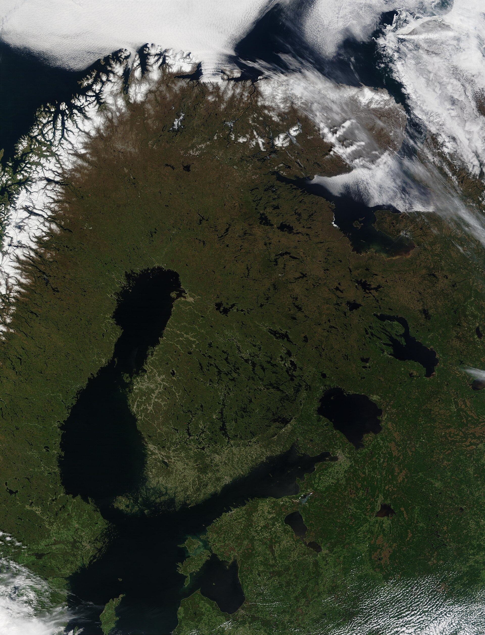
Satellite image from the end of May. In the south it is already green, in the north browner, and there is still snow on the mountains of Norway.. Photo: Scandinavia, MODIS-satelliittikuva 29.5.2002, Jacques Descloitres, MODIS Land Rapid Response Team, NASA/GSFC, Public domain, modified: reduced in size 5. Lapland and the Finnish Lakeland
Lapland is in the north. There are fells, and the highest point in Finland is at Halti. The longest river in Finland, the Kemijoki, also flows in Lapland.
In the Finnish Lakeland (Järvi-Suomi) there are thousands of lakes, such as Saimaa and Päijänne.
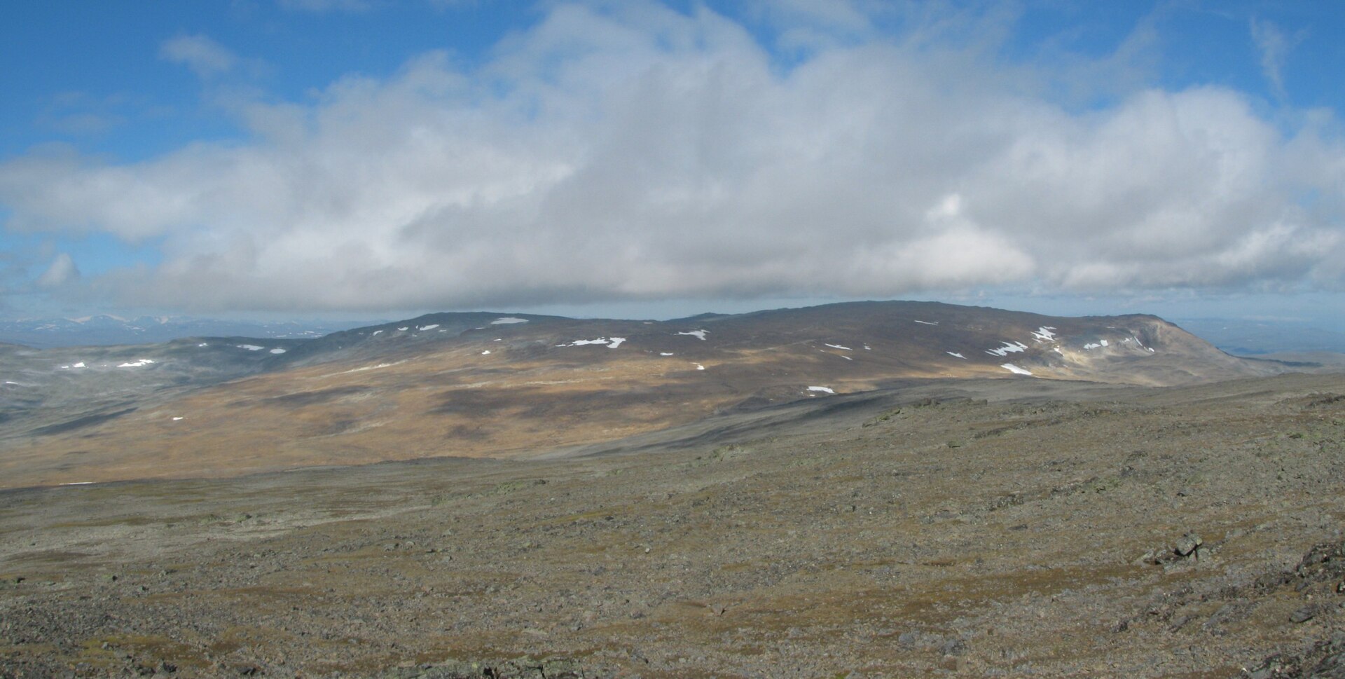
Halti fell in Lapland. Photo: Haltitunturi, Ari Mure, CC BY-SA 3.0, modified: reduced in size 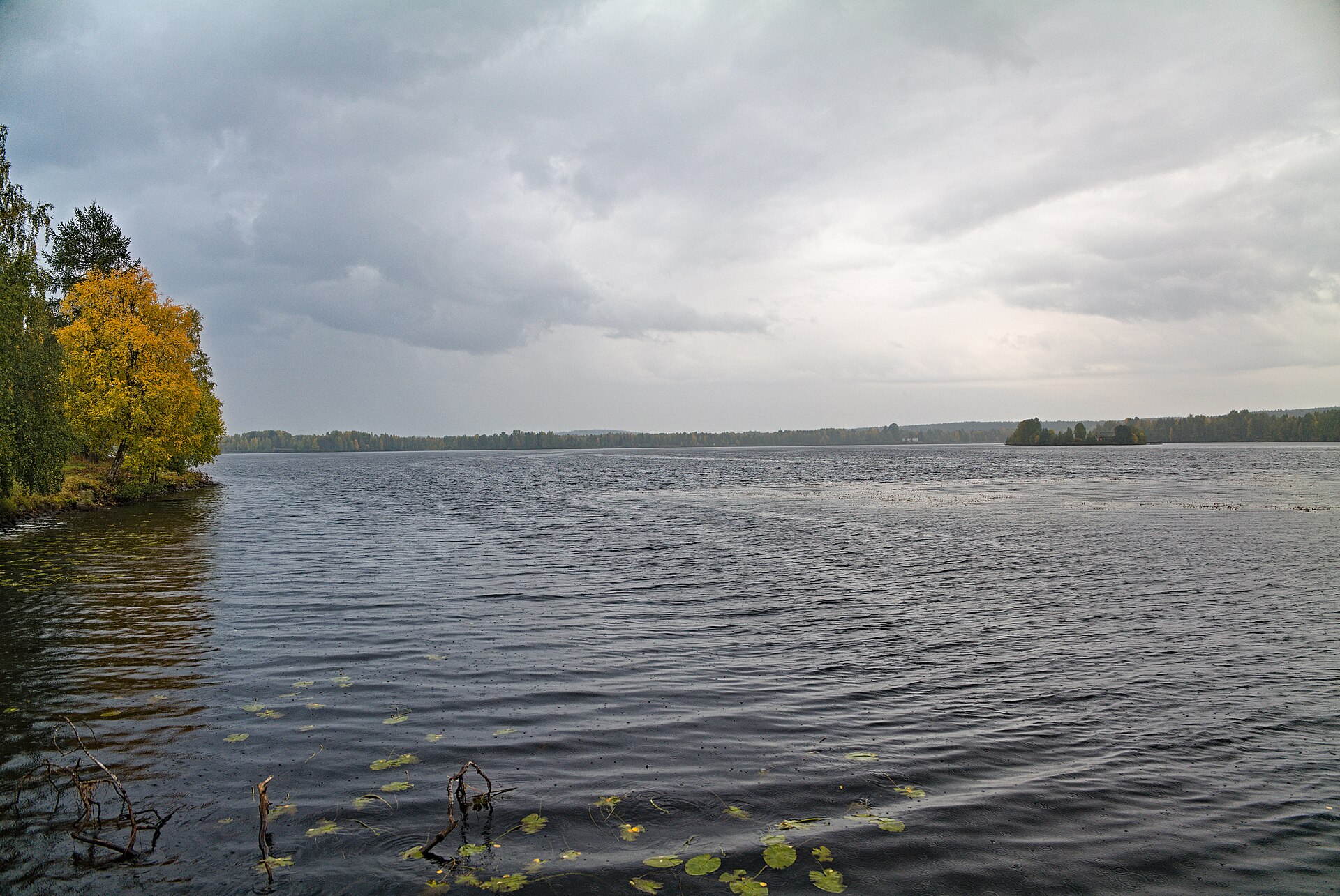
The Kemijoki river in Rovaniemi. Photo: Kemijoki in Rovaniemi 2022-09-14 03, Leonhard Lenz, CC0, modified: reduced in size 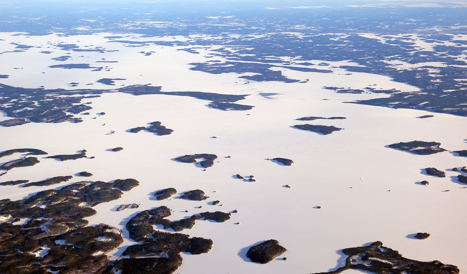
Saimaa in winter, seen from an aeroplane. Photo: Lake Saimaa aerial, kallerna, CC BY-SA 4.0, modified: reduced in size 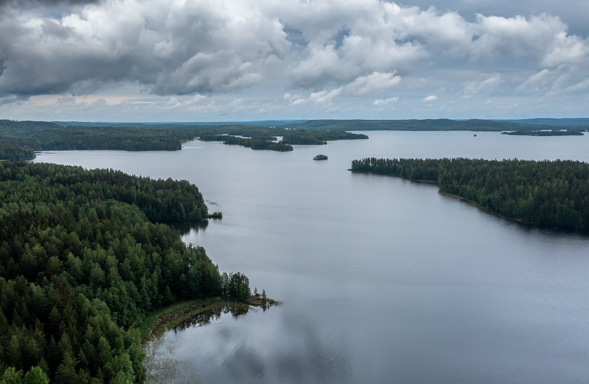
Päijänne in summer. Photo: Päijänne lake at Kivivuorenlahti in Luhanka, Central Finland, 2021 June, Ximonic (Simo Räsänen), CC BY-SA 3.0, modified: reduced in size 6. Cities on the map
Helsinki is the capital in the south, on the Gulf of Finland.
Turku is west of Helsinki, on the sea.
Tampere is inland, between two lakes.
Oulu is on the Gulf of Bothnia, and Rovaniemi is north of Oulu, near the Arctic Circle.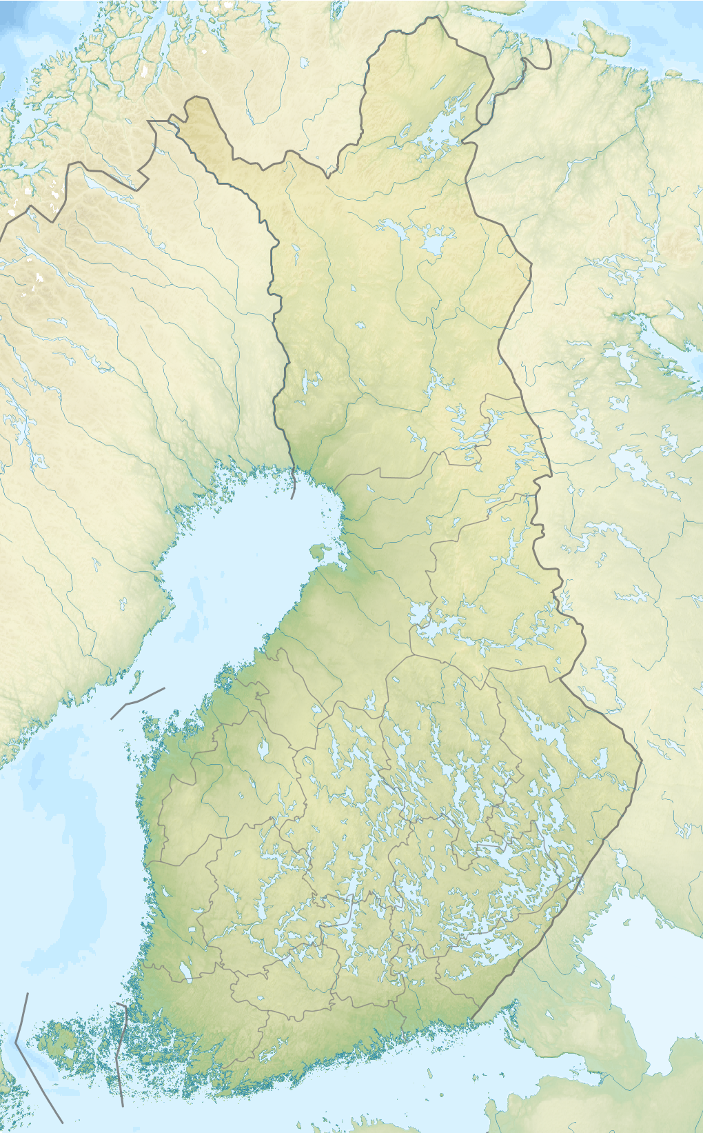
Map of Finland. The lakes are blue.. Photo: Finland rel location map, Uwe Dedering, CC BY-SA 4.0, modified: reduced in size 7. Practise with the map
Which sea is between Finland and Sweden?
Which country is south of the Gulf of Finland?
In which direction is Turku from Helsinki?
Find Oulu and Tampere on a map of Finland.


Summary
Finland's neighbours are Sweden in the west, Norway in the north and Russia in the east. Estonia is across the Gulf of Finland. The Baltic Sea is on Finland's coasts. Its parts are the Gulf of Bothnia and the Gulf of Finland. On a map, north is usually at the top. Finland is a long country, and in the north is Lapland with its fells. In the Finnish Lakeland there are thousands of lakes. Helsinki is the capital.
Frequently asked questions
Which countries are Finland's neighbours?
Finland has a land border with Sweden, Norway and Russia. The border with Sweden partly follows the Tornio River. Estonia is a neighbour across the sea.
How many lakes are there in Finland?
Counting small ponds, Finland has almost 190 000 lakes. The biggest lake is Saimaa.
Why is north at the top of a map?
It is an agreement that most maps follow. If a map has a north arrow, it shows for sure where north is.