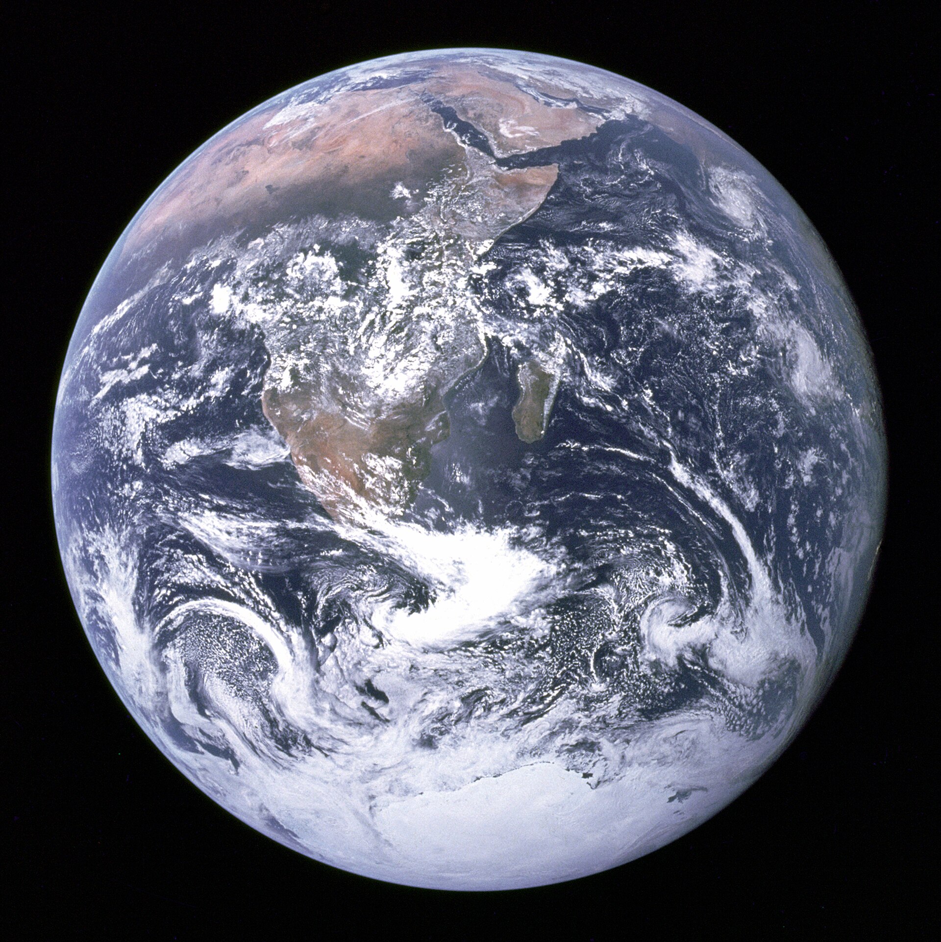

World map: teaching, slides and exercises
Continents and oceans on the map, the four hemispheres, big countries with their capitals, and the Sahara and the Himalayas. Slides for grades 5–6.
The world map becomes familiar when the continents and oceans are the starting point. They are learned in the globe article for grades 3–4, so here they are only revised. The article is made for grades 5–6, and every step is ready to show to the class as a slide.
By the end, pupils name the four hemispheres of the Earth and find big countries and landforms on the map. After that, they can practise the map in Puro's map exercises.
Key concepts
- continent
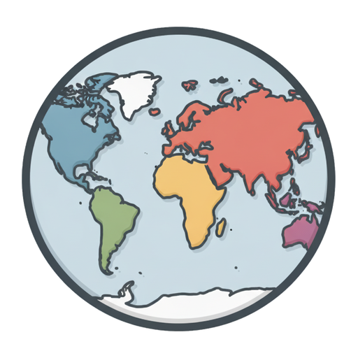 A very large area of land. There are seven continents, and Finland is in Europe.
- ocean
 A very large sea. The largest ocean is the Pacific.
- Eurasia
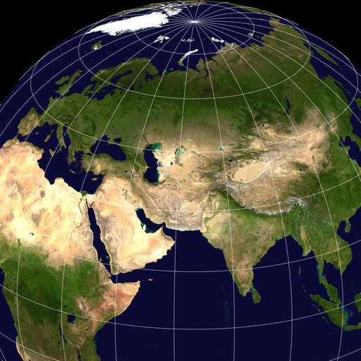 Eurasia means the land formed by Europe and Asia together. It is the largest connected area of land on Earth.
- equator
 An imaginary line around the middle of the Earth. Near it, it is always warm.
- country
 An area with its own borders, government and flag. Finland is a country.
- mountain
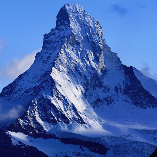 A high, steep rise of land. The world's highest mountain is Mount Everest.
- desert
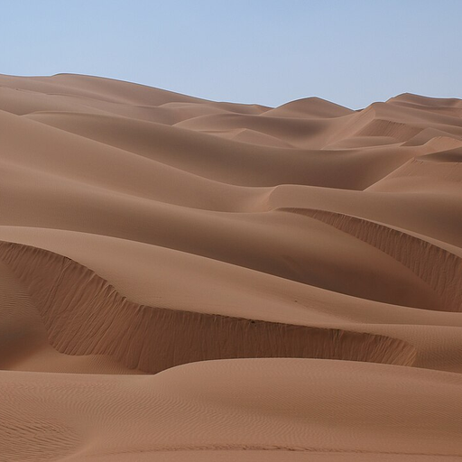 A dry area where very little rain falls. There is often sand.
- river
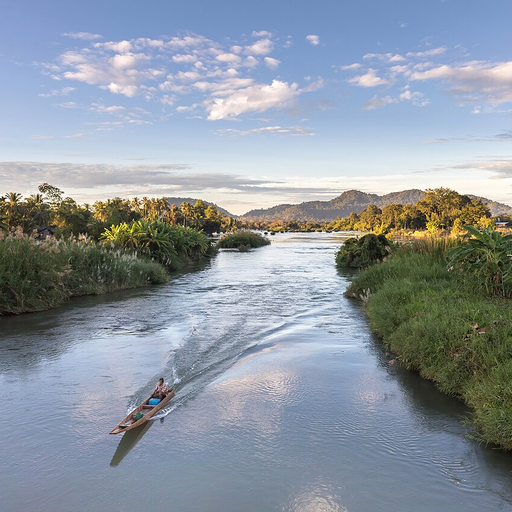 Flowing water that runs in its bed toward a lake or the sea.
Related exercises
1. Do you remember the globe?
What are the seven continents?
Which ocean is the largest?
Which hemisphere is Finland in?
On which continent do the most people live?2. Eurasia and Africa
Europe and Asia are on the same landmass, Eurasia, and the border between them usually runs along the Ural Mountains. Asia is the largest of the continents.
Africa is south of Europe, across the Mediterranean Sea. To the north of Eurasia is the Arctic Ocean, and to the south of Asia is the Indian Ocean.
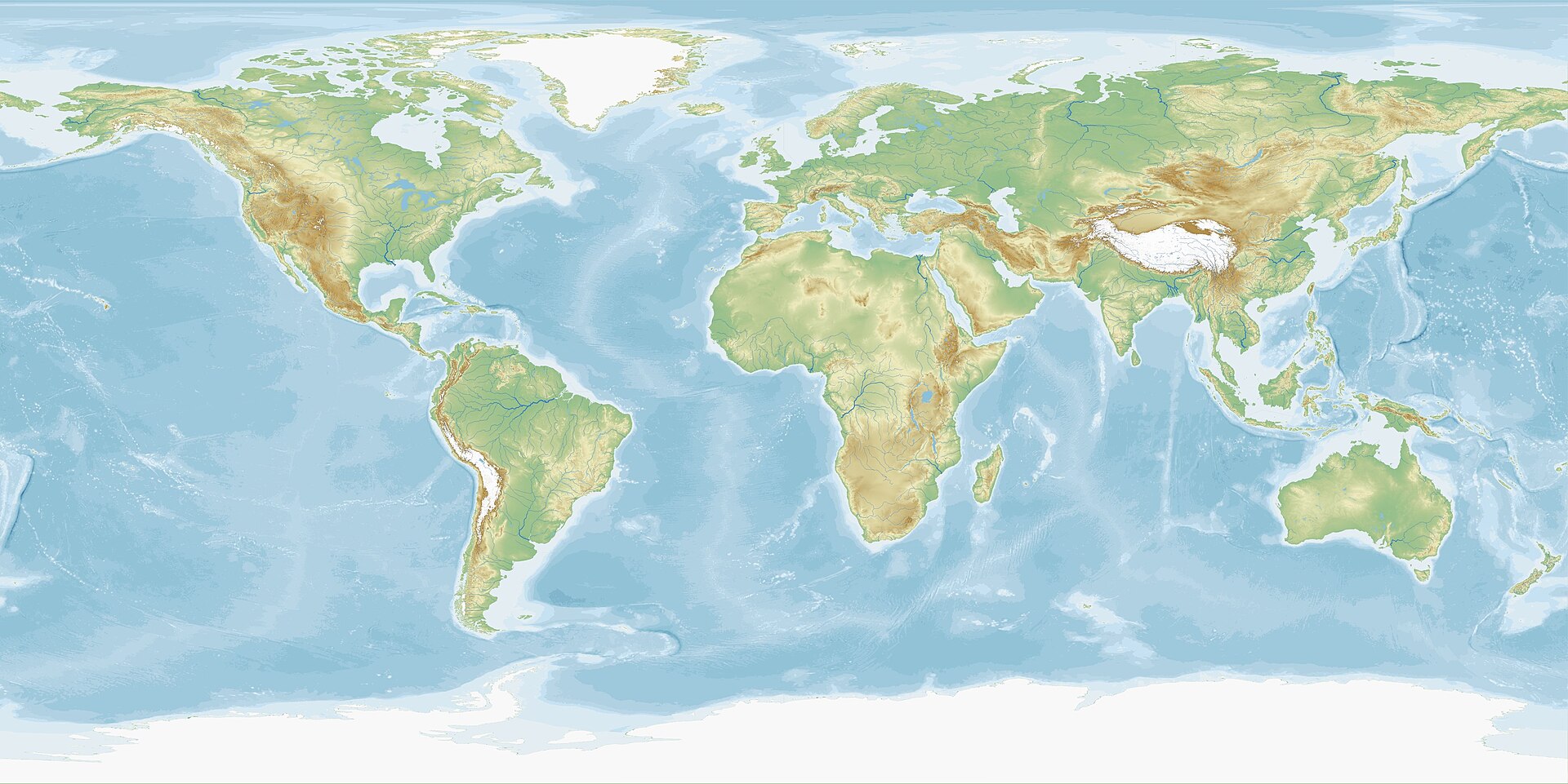
A relief map of the world. The mountains are brown and the seas are blue. North is at the top.. Photo: Equirectangular-projection-topographic-world, Gundan, CC BY-SA 4.0, modified: reduced in size 3. Four hemispheres
The equator divides the Earth into the northern and southern hemispheres. The Prime Meridian is an imaginary line from pole to pole. It runs through London and divides the Earth into the eastern and western hemispheres.
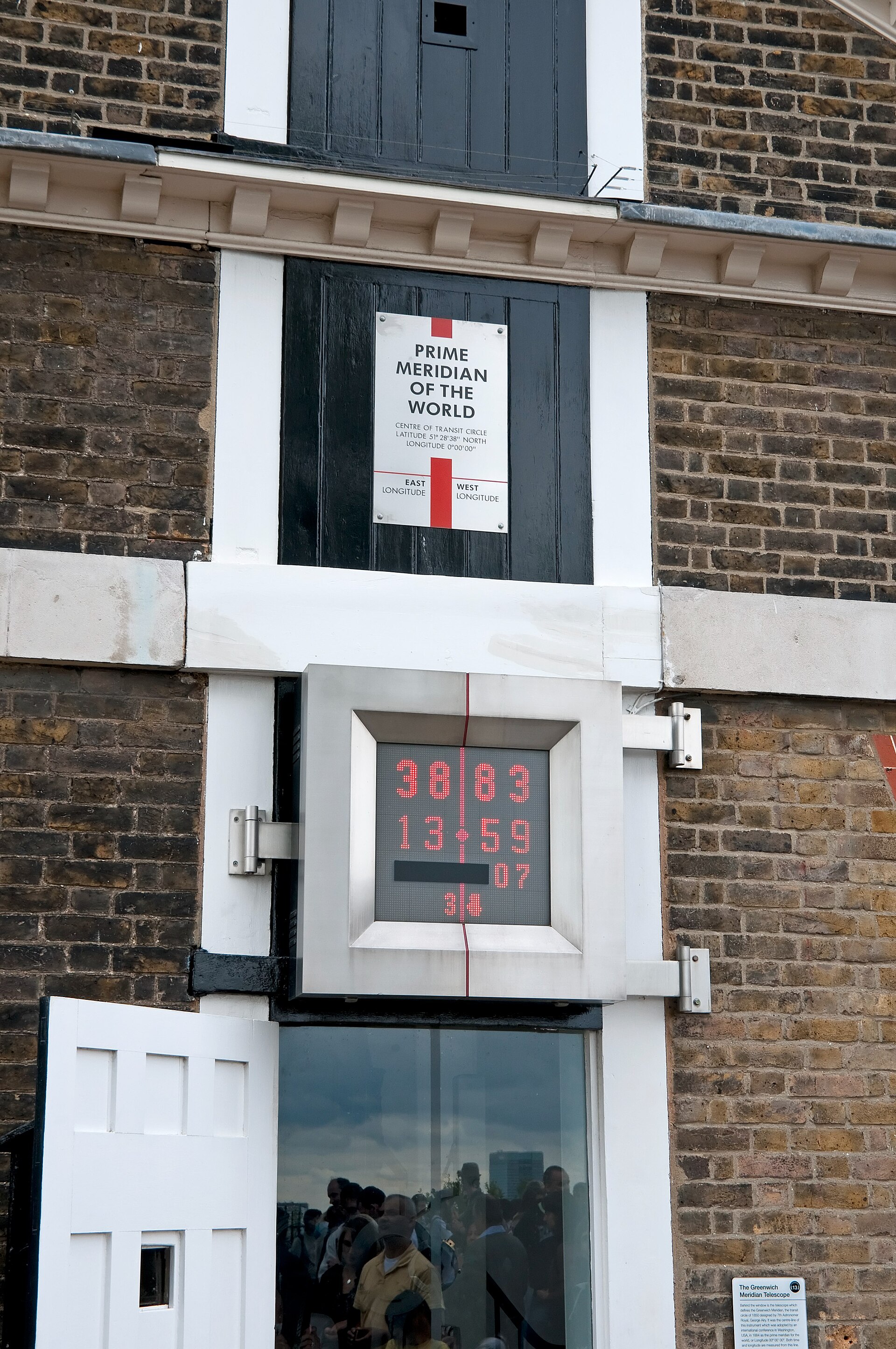
The Prime Meridian marker at the old observatory building in Greenwich, London. On one side of the red line it says East, on the other West.. Photo: The Prime Meridian line at the Greenwich Royal Observatory, Chris Gorringe, CC BY-SA 2.0, modified: reduced in size 4. Countries and capitals
In Asia: China–Beijing, Japan–Tokyo, India–New Delhi
In Africa: Egypt–Cairo, Kenya–Nairobi
In North America: Canada–Ottawa, United States–Washington
In South America: Argentina–Buenos Aires, Peru–Lima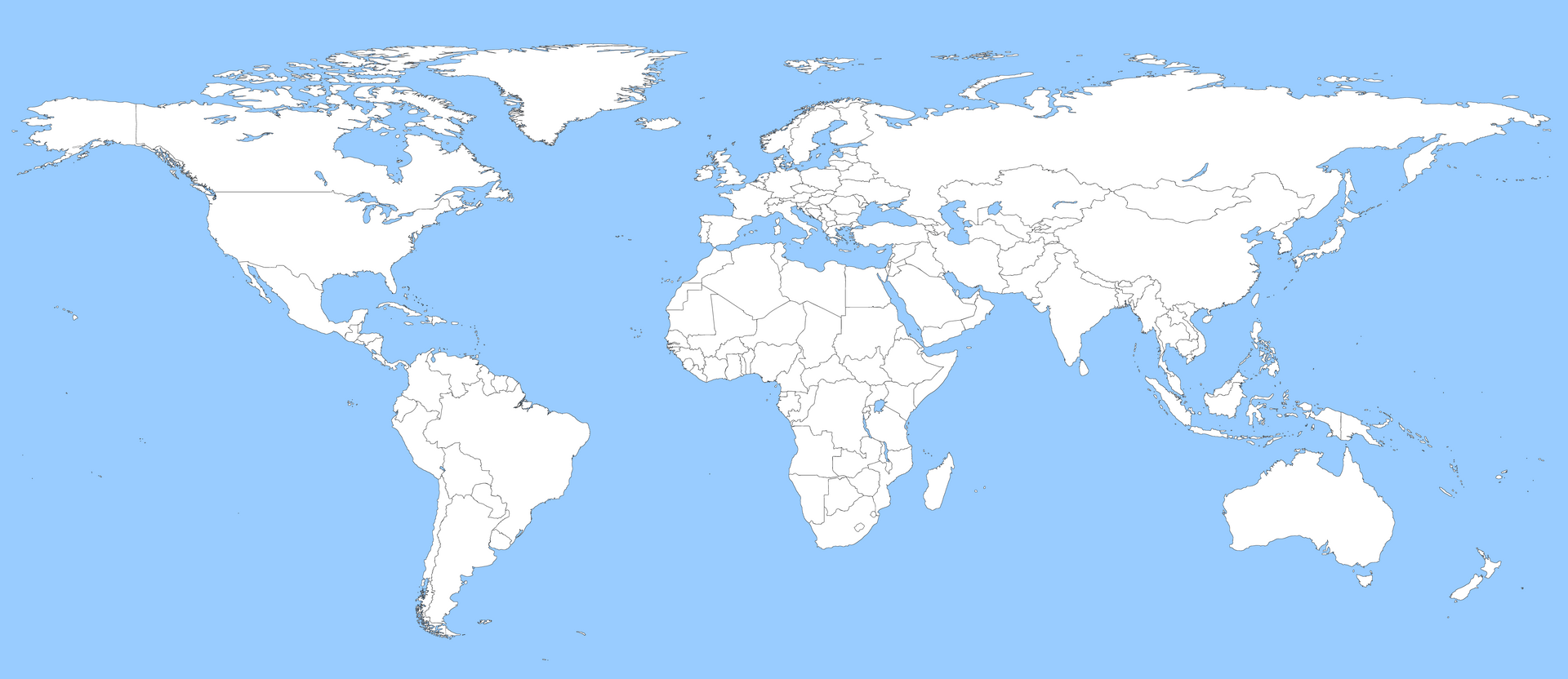
Eight capitals on the world map. The lines are country borders.. Photo: HD 15000 x 6500 Equirectangular Blank Political Map with Oceans Marked in Blue, WikiCommons123456789, CC0, modified: reduced in size 5. Mountains, deserts and rivers
In Asia are the Himalayas, home to the world's highest mountain, Mount Everest. In northern Africa is the Sahara, the world's largest hot desert.
The Nile flows in Africa and the Amazon in South America. They are the longest rivers in the world.
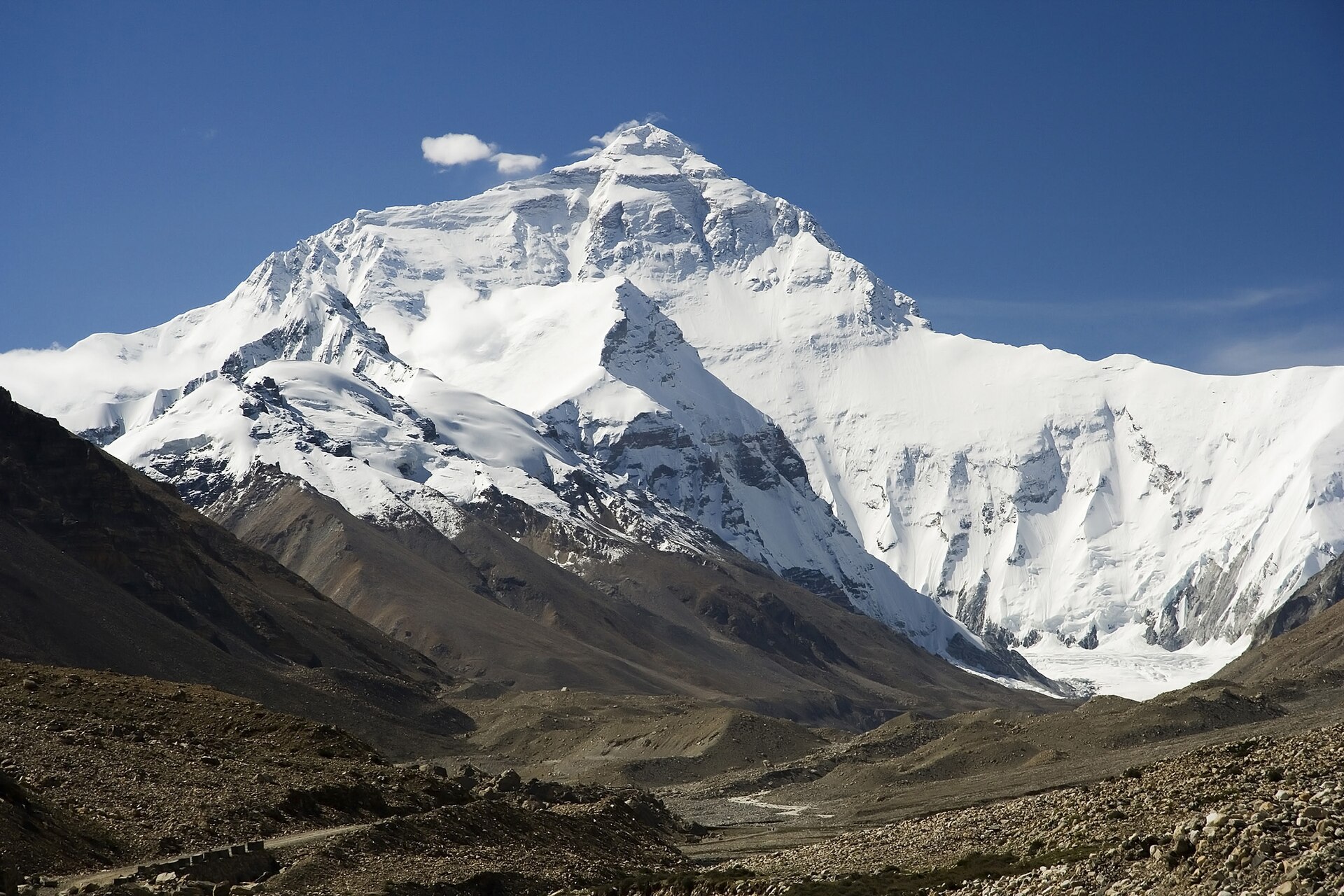
Mount Everest in the Himalayas. Photo: Everest North Face toward Base Camp Tibet, Luca Galuzzi (Lucag), CC BY-SA 3.0, modified: reduced in size 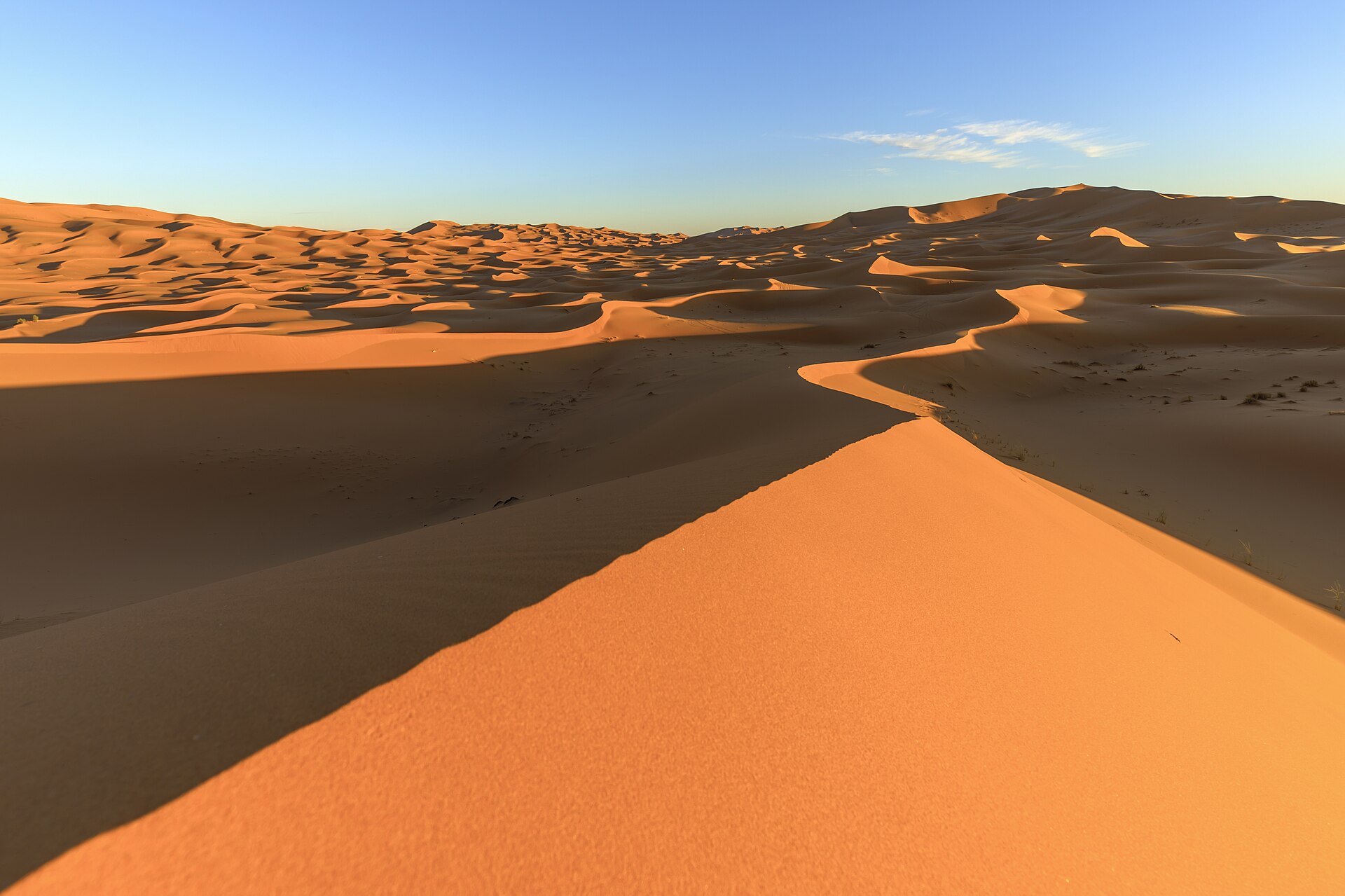
Sand dunes in the Sahara in Morocco. Photo: Erg Chebbi in the evening light, Thomas Fuhrmann, CC BY-SA 4.0, modified: reduced in size 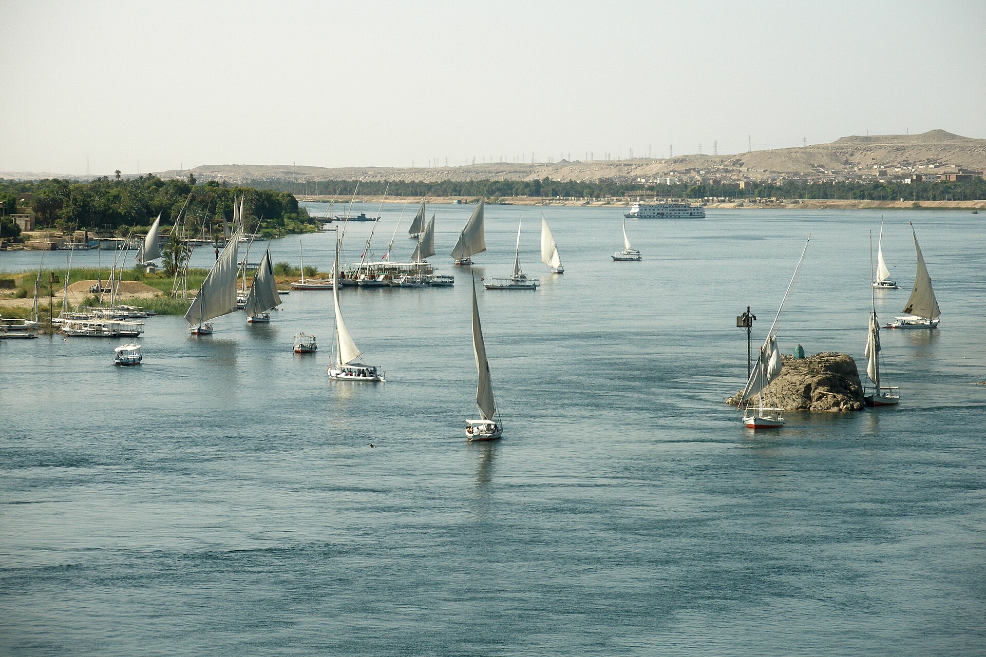
The Nile at Aswan in Egypt. Photo: Nile River, Feluccas, Aswan, Egypt, Vyacheslav Argenberg, CC BY 4.0, modified: reduced in size 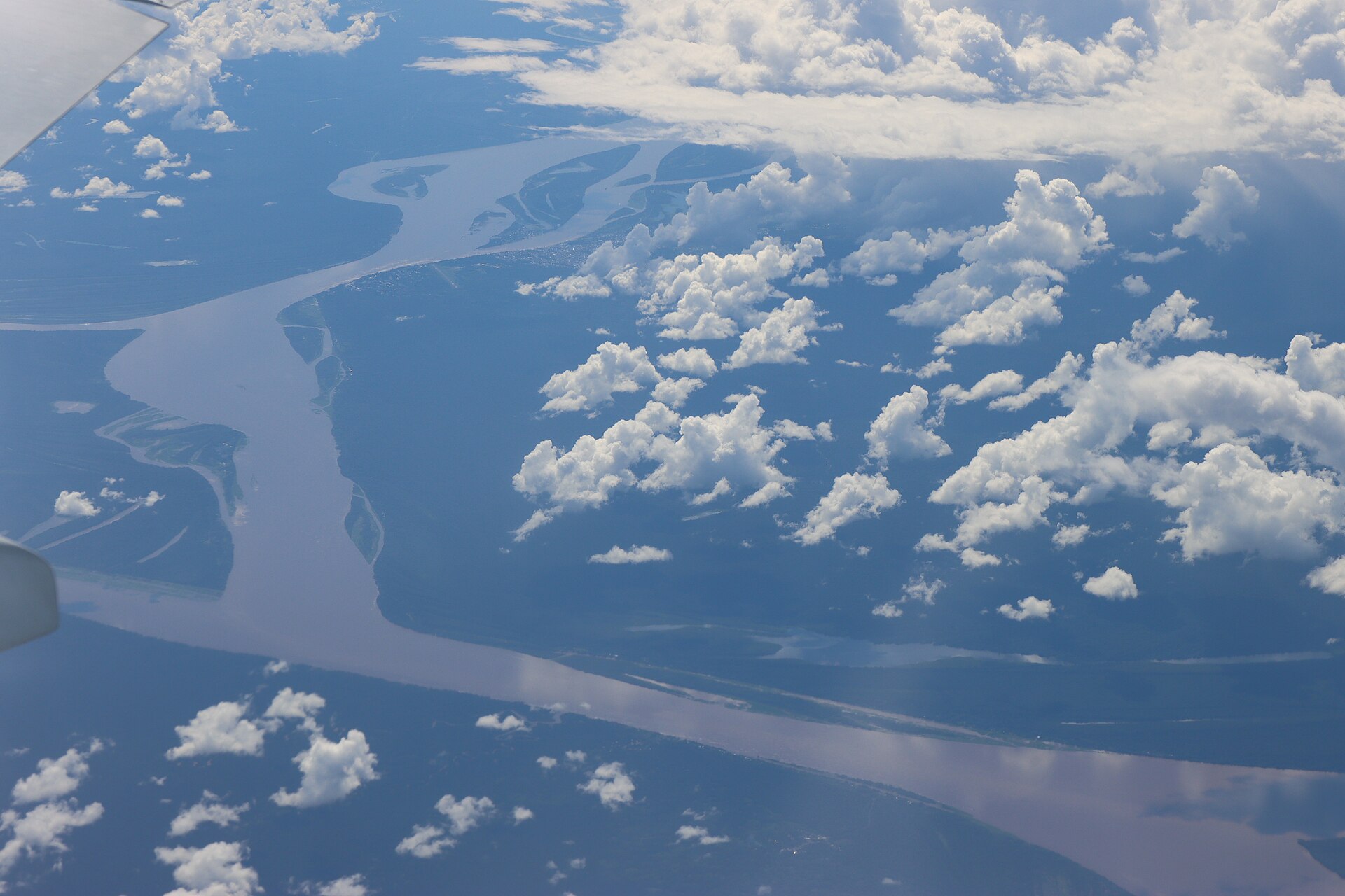
The Amazon River from an aeroplane, in the South American rainforest. Photo: Amazonka, soutok s řekou Yavarí poblíž Nova Aliança, let KL743, 2023, Draceane, CC BY-SA 4.0, modified: reduced in size 6. Learn one layer at a time
First learn the continents and oceans. Then add two or three big countries and their capitals to each continent.
From time to time, look at a globe. On a map, areas near the poles look too big.
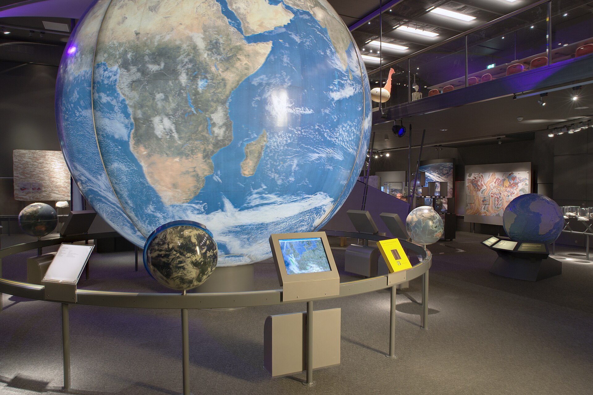
A large globe in a museum. On the globe, the continents have the right shape and size.. Photo: Naturalis Biodiversity Center - Museum - Exhibition Earth 08 - Huge globe with Africa showing, overview, Henk Caspers/Naturalis Biodiversity Center, CC BY-SA 3.0, modified: reduced in size 7. Practise on the map
What is the capital of Japan?
On which continent is the Sahara?
In which hemispheres is Australia?
Which two continents form Eurasia?


Summary
Europe and Asia form Eurasia, and Asia is the largest of the continents. The Prime Meridian divides the Earth into the eastern and western hemispheres. Finland is in the northern and eastern hemispheres. The Himalayas have the world's highest mountain, and the Sahara is the largest hot desert. The Nile and the Amazon are the longest rivers in the world. The map sticks in your mind when you first learn the continents and oceans and then a few big countries from each continent.
Frequently asked questions
Which is longer, the Nile or the Amazon?
Sources disagree, because the result depends on where the start and end of the river are measured. Both are over 6,000 kilometres long.
What is the largest country in the world?
Russia. It is in both Europe and Asia.
Why does Antarctica have no countries?
Antarctica is almost entirely covered in ice, and nobody lives there permanently. There are research stations, and an international treaty reserves the continent for peaceful research.